What is recorded here
Castle rises at the ridge end in County Laois, a twelve-metre summit set on a forty-six-metre base, with a broad fosse and outer bank guarding an irregular bailey. Its southwest quadrant still holds the castle site, while the rest may have given up rooms, yards or temporary shelter. The shape suggests a household that watched the land, kept its distance, and left behind a mound rather than a name.
Situate at the end of a ridge. A circular-flat topped mound (summit diam. c. 12m; base diam c. 46m, H c. 6m) defined by bank (Wth c. 3.5m; int. H c. 0.7m) on summit. A flat-bottomed fosse (Wth c. 7m, D c. 2m) at S and W and an external bank (Wth c. 3m; int. H c. 1m, ext. H c. 0.6m) at S and SW separate the motte from the irregularly shaped bailey (dims. c. 62m E-W 62m, 30m N-S 30m). Castle site (LA030-021001-) in SW quadrant of bailey.
The above description is derived from the published 'Archaeological Inventory of County Laois' (Dublin Stationery Office, 1995) compiled by P. David Sweetman, Olive Alcock and Bernie Moran. In certain instances the entries have been revised and updated in the light of recent research.
Date of upload: 17 December 2007
The monument record does not grant public access. Check the route and ask the landowner before entering private land.
- What survives
- Recorded monument
Places near here
 Moat Castle in ruinsCastle, unclassified · 52 yd
 AskuarWood · 529 yd
 Enclosure in MoatEnclosure · 1163 yd
 IndicatedEnclosure · 1374 yd
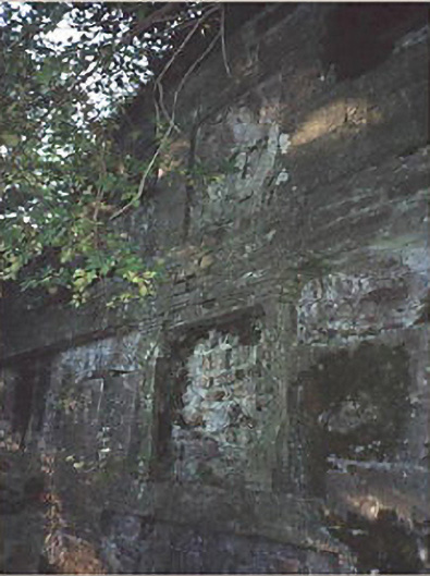 Heywood Housemausoleum · 1.0 mi
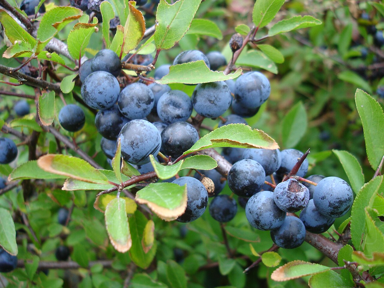 BlackthornBlackthorn · 1.0 mi
 Heywood GardensHeritage attraction · 1.2 mi
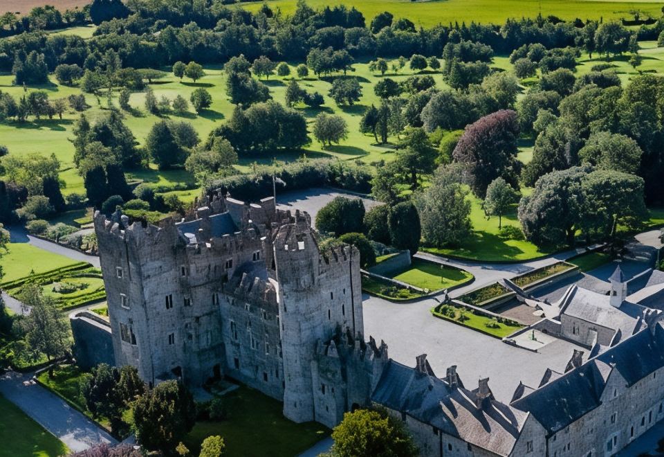 CastleCastle, motte · 1.4 mi
 Kilcronan church (in Ruins)Church · 1.5 mi
 1798 MonumentMemorial · 1.6 mi
 Knocknamoe HouseMemorial · 3.8 mi
 Abbeyleix Heritage CentreMuseum · 4.0 mi