
What is recorded here
Usk Castle was a large fortified house on the southwest edge of the townland, still standing when Taylor mapped Kildare in 1783. People called it a castle because it watched the land like a castle, even if it never wore a tower. By 1837 it had become ruins, and by the later survey it had vanished into the site of a memory.
Shown on Noble and Keenan’s 1752 Map of County Kildare as a large house and also recorded by Taylor on his 1783 map of the county. In 1837, according to O’Conor (Herity 2002, 96 [28]) who co-compiled the OSL for County Kildare, ‘In the S.W. side of Usk townland are the ruins of a dwelling house called a Castle by the people.’ By the time the OS 25-inch map was drawn, the ‘Castle’ was recorded ‘Site of’, ie destroyed. It was possibly a fortified house rather than a tower house or castle proper. No visible surface trace survives.
Compiled by: Gearóid Conroy
Date of upload: 16 October 2013
The monument record does not grant public access. Check the route and ask the landowner before entering private land.
- What survives
- Recorded monument
Places near here
 Church in Brewel WestChurch · 245 yd
 Enclosure in Brewel East OR MervilleEnclosure · 954 yd
 Ceremonial enclosure in Brewel WestCeremonial enclosure · 1074 yd
 HawthornHawthorn · 1.0 mi
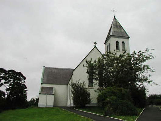 Saint Joseph's Catholic Churchchurch/chapel · 1.4 mi
 Narraghmore Nature ReserveForest · 1.9 mi
 Castlefish (in Ruins)Castle, unclassified · 2.0 mi
 CastleCastle, unclassified · 2.2 mi
 Battle of Kilrushbattle · 4.6 mi
 1798 memorial stoneMonument · 4.7 mi
 Ballyhook HillMountain / peak · 5.4 mi
 Burtown House and GardensHeritage attraction · 6.8 mi
Other information
Photo: Credit not shown in the picture search · Rights wording not checked; contact us if this picture should be removed