What is recorded here
From the National Monuments Service (Archaeological Survey of Ireland) record CO136-070002
This remains an important historical record, but the official description says the monument is no longer visible or has been destroyed. The monument record does not grant public access. Check the route and ask the landowner before entering private land.
- What survives
- No visible remains or recorded as destroyed
Places near here
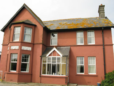 Lislevane HouseHouse · 1.9 mi
 Prospect HallHouse · 2.0 mi
 Dunworly BeachBeach / strand · 2.1 mi
 Inchydoney BeachBeach / strand · 2.6 mi
 Lios na gCon Ring FortArchaeological place · 3.1 mi
 Inchydoney BeachBeach / strand · 3.1 mi
 Clonakilty HarbourBay · 3.6 mi
 Ballinoroher CastleCastle · 4.1 mi
 Clonakilty Tourist OfficeVisitor information · 4.4 mi
 Michael Collins StatueMonument · 4.5 mi
Pictures: National Inventory of Architectural Heritage; David Sands, Geograph · CC BY-SA 2.0; Jonathan Pascall, Geograph · CC BY-SA 2.0; Keith Phelan, Wikimedia Commons · CC BY-SA 4.0; Warren Buckley, Geograph · CC BY-SA 2.0; Neville Goodman, Geograph · CC BY-SA 2.0; Mike Searle, Wikimedia Commons · CC BY-SA 2.0; Kenneth Allen, Geograph · CC BY-SA 2.0; PAUL FARMER, Geograph · CC BY-SA 2.0
More castles and forts in County Cork · All of County Cork
What do you know about this place?