What is recorded here
Ballycanvan Big stands as a ruined tower house on high ground above the River Suir, once owned by Lord Power of Curraghmore in 1640. Its rectangular stone frame still reaches the second floor, though much of the original shape has been absorbed into the ruined Ballycanvan House. The King’s Channel loops nearby, and the blocked mural stairs suggest a private climb now forgotten. What remains is a sharp-edged shadow of a residence that watched the water and waited for people no longer named.
Situated on high ground overlooking the River Suir and Little Island, with the King's Channel, a loop of the river, c. 170m to the NW. It was owned by Lord Power of Curraghmore (WA008-005001-) in 1640 (Simington 1942, 163). A rectangular structure (ext. dims. 7.85m N-S; 6.5m E-W) surviving to the second floor, although much altered and incorporated into Ballycanvan House which is now ruinous. A destroyed doorway towards the S end of the E wall leads to the ground floor which has three embrasures. Mural stairs in the E wall are now blocked, and there is no evidence of vaulting. The upper floors have few original features apart from an antechamber over the entrance.
Simington, R. C. (ed.) (1942) The Civil Survey AD 1654-1656, vi, the County of Waterford. Irish Manuscripts Commission. Dublin.
The above description is derived from the published 'Archaeological Inventory of County Waterford' (Dublin: Stationery Office, 1999). In certain instances the entries have been revised and updated in the light of recent research.
Date of upload/revision: 23 December 2008
Built by an unknown constructor, Castle Ballycanvan Big was owned by Lord Power of Curraghmore in 1640. Its strategic location overlooking the River Suir and Little Island suggests it may have played a defensive or administrative role in the region during the 17th century.
The monument record does not grant public access. Check the route and ask the landowner before entering private land.
- What survives
- Recorded monument
Places near here
 Ballycanvan Housecountry house · 2 yd
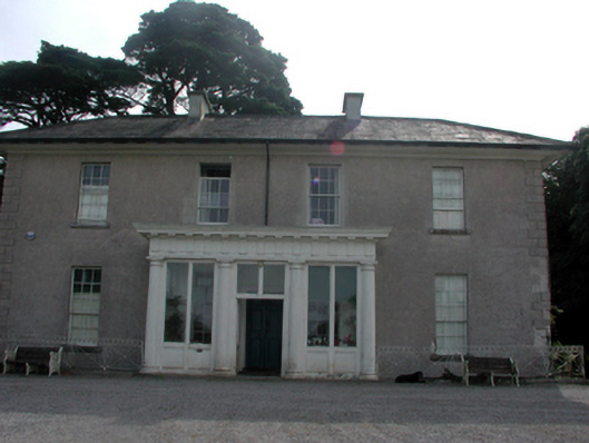 Woodland Househouse · 572 yd
 Burnt mound in BallynabolaBurnt mound · 1184 yd
 Castle (in ruins)Castle, tower house · 1229 yd
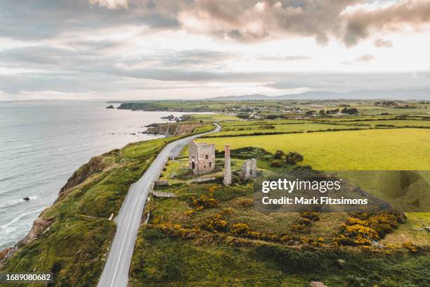 MoteCastle, motte · 1664 yd
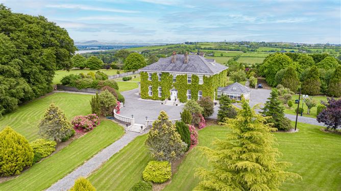 Settlement cluster in CoolbunniaSettlement cluster · 1696 yd
 Ballinakill WoodsWood · 1.2 mi
 Monterey CypressMonterey Cypress · 1.7 mi
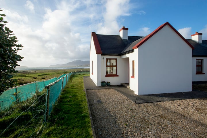 Minaun HillMountain / peak · 1.7 mi
 The MinaunViewpoint · 1.7 mi
 Cheek PointHeadland · 2.4 mi
 Memory of the crew of "Rescue 111"Memorial · 7.3 mi