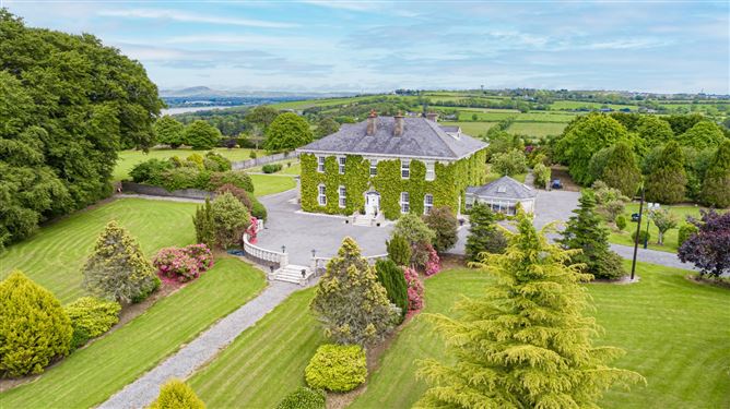
What is recorded here
Situated towards the top of a gentle NW-facing slope. The field NW of the motte (WA010-004----) is known locally as 'the Street' and contained a number of undulations before it was reclaimed c. 1960 when quantities of red brick were noted.
Compiled by: Michael Moore
Date of upload: 14 September 2010
The monument record does not grant public access. Check the route and ask the landowner before entering private land.
- What survives
- Recorded monument
Places near here
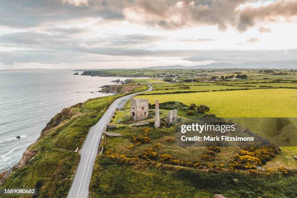 MoteCastle, motte · 86 yd
 Faithlegg Housegate lodge · 98 yd
 Castle (in Ruins)Castle, tower house · 109 yd
 Grave YardGraveyard · 173 yd
 Church (in Ruins)Church · 188 yd
 TobershonockHoly well · 274 yd
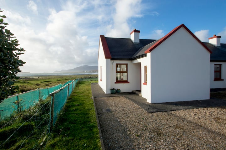 Minaun HillMountain / peak · 1350 yd
 The MinaunViewpoint · 1392 yd
 Cheek PointHeadland · 1.5 mi
 Catherine's BayBay · 1.6 mi
 Ballinakill WoodsWood · 2.1 mi
 Otter with a SalmonMemorial · 2.1 mi
Other information
Photo: Credit not shown in the picture search · Rights wording not checked; contact us if this picture should be removed