
What is recorded here
Situated on a gentle NW-facing slope. The early ecclesiastical church and parish church of Faithlegg (WA010-003001-) is within a rectangular graveyard (dims. c. 60m E-W; c. 30m N-S) defined by stone-faced earthen banks at E and S and masonry walls at W and N. (Power 1890-91, 481-2)
Power, Rev. P. (1890-91) The ancient ruined churches of Co. Waterford. JRSAI 18, 20-21, 475-82.
Compiled by: Michael Moore
Date of upload: 10 November 2010
Medieval Christian graveyard; associated with an early ecclesiastical site. Significance lies in its potential to reflect the continuity of religious use in the region from early Christian to medieval periods.
The monument record does not grant public access. Check the route and ask the landowner before entering private land.
- What survives
- Recorded monument
Places near here
 Church (in Ruins)Church · 15 yd
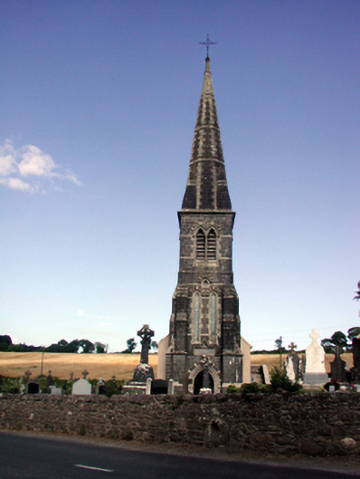 Saint Nicholas's Catholic Churchchurch/chapel · 37 yd
 TobershonockHoly well · 108 yd
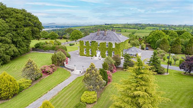 Settlement cluster in CoolbunniaSettlement cluster · 173 yd
 Castle (in Ruins)Castle, tower house · 248 yd
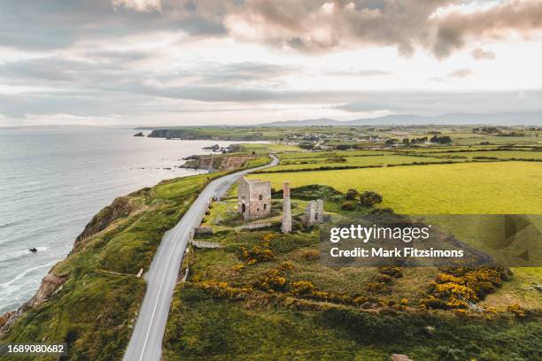 MoteCastle, motte · 253 yd
 Minaun HillMountain / peak · 1191 yd
 The MinaunViewpoint · 1237 yd
 Cheek PointHeadland · 1.4 mi
 Catherine's BayBay · 1.5 mi
 Otter with a SalmonMemorial · 2.2 mi
 Ballinakill WoodsWood · 2.2 mi
Other information
Photo: Credit not shown in the picture search · Rights wording not checked; contact us if this picture should be removed