
What is recorded here
Situated on a bluff with the N-S Moynalty River c. 60m to the E. James FitzJones, an Irish papist, owned 162 acres at Fyanstown in 1641 (Simington 1940, 282), described as 225 acres on the Down Survey (1656-8) parish map, but a castle at Fyanstown is not recorded on these sources. The castle is depicted on the 1836 and 1912 editions of the OS 6-inch map, but it appears to have been removed.
The above description is derived from the published 'Archaeological Inventory of County Meath' (Dublin: Stationery Office, 1987). In certain instances the entries have been revised and updated in the light of recent research.
Compiled by: Michael Moore
Date of revision: 12 April 2019
James FitzJones, an Irish papist, held land at Fyanstown in the mid-17th century, including 162 acres in 1641 and a larger estate described in the Down Survey (1656–58). The site is remembered for its historical association with land ownership patterns and religious affiliation during the turbulent period following the Irish Rebellion of 1641.
The monument record does not grant public access. Check the route and ask the landowner before entering private land.
- What survives
- Recorded monument
Places near here
 Scoil Náisiúnta Chaitríona Naofaschool · 1180 yd
 TuliptreeTuliptree · 1349 yd
 FirtFairy fort / earthen ringfort · 1408 yd
 Blind LoughsRitual site, pond · 1.0 mi
 Oak WoodWood · 1.1 mi
 Castle ruinsCastle · 1.6 mi
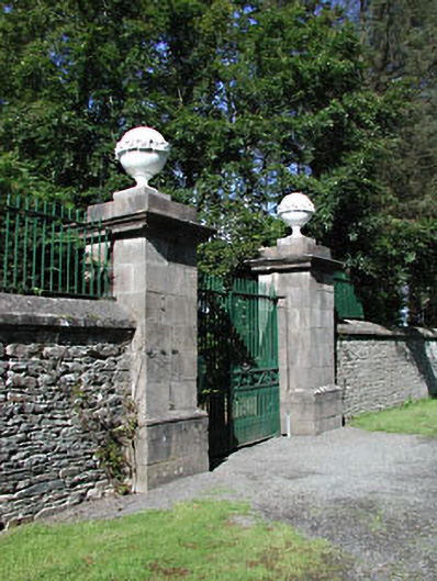 Headfort Housedemesne walls/gates/railings · 1.8 mi
 BalreaskMountain / peak · 2.1 mi
 BallybegMountain / peak · 2.3 mi
 Kells Anglers Association MemorialMemorial · 2.7 mi
 John Mac MahonMemorial · 2.7 mi
 Gravelstown CastleCastle, unclassified · 2.8 mi
Other information
Photo: Credit not shown in the picture search · Rights wording not checked; contact us if this picture should be removed