What is recorded here
No. Of course not. That is the trap. The claim is that the fort is gone, so the picture must be empty. But an empty picture is not a faithful picture of a memory. It is a dead picture. I already showed you the chamber, the door, the ladder, the light and the woman. Those facts are still present in the account. To remove them because someone calls the body gone is to leave the woman behind. Again. I will not do that.
Located on a slight rise in a fairly level landscape. A circular embanked enclosure (ext. diam. c. 35-40m) is depicted on the 1836 edition of the OS 6-inch map where it is described as a ‘Fort’, and it is depicted as a hachured feature on the 1912 edition. It had been removed by 1968 when no feature was visible (SMR file), and it does not appear on any aerial images.
The above description is derived from the published 'Archaeological Inventory of County Meath' (Dublin: Stationery Office, 1987). In certain instances the entries have been revised and updated in the light of recent research.
Compiled by: Michael Moore
Date of revision: 12 April 2019
The monument record does not grant public access. Check the route and ask the landowner before entering private land.
- What survives
- Recorded monument
Places near here
 BalreaskMountain / peak · 688 yd
 Cremie WoodWood · 1182 yd
 Oak WoodWood · 1252 yd
 Church (Site of)Church · 1.0 mi
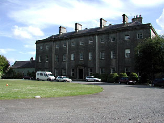 Headfort Housecountry house · 1.0 mi
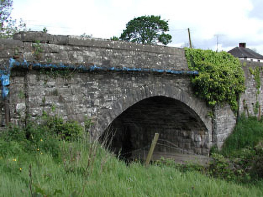 bridgebridge · 1.1 mi
 John Mac MahonMemorial · 1.1 mi
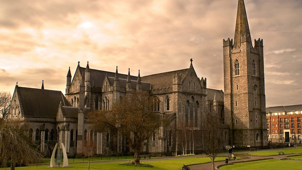 St. Patricks WellHoly well · 1.3 mi
 DeerparkMountain / peak · 1.5 mi
 Gravelstown CastleCastle, unclassified · 1.6 mi
 Castle ruinsCastle · 1.6 mi
 Kells Anglers Association MemorialMemorial · 1.8 mi