What is recorded here
The Mac Dermot Roe separated from the main line of the Mac Dermots in the first half of the 14th century and made Tir Tuathail their base. However in 1585 Conor Óg Mac Dermot of the Sliocht Eoghan was tanist of Mac Dermot with lands at Aghacarra, which included Drumdoe. His son Owen retained them in 1635 but lost them thereafter. (Mac Dermot 1996, 355-60; O'Conor, 2007, 200-201)
On the E shore of Lough Arrow, c. 30m from the lake. The remains of the three-storey house (int. dims. 9.2m E-W; 5.3m N-S) survive at the SE angle of the bawn (RO003-012001-) (int. dims. 28m E-W; 19m N-S), which lacks its W wall but which has fragments of a gatehouse (RO003-012002-) on the S wall. The walls of the house (H c. 9m; T 0.8-1.1m) survive only on the W and N with the joists of the upper floors set directly into the walls. At the ground floor there is a robbed window in the N wall, and a fireplace and gun-loop in the W wall. There is a robbed window in the W and N walls at the first floor, and a fireplace in the W wall and a gun-loop in the N wall on the second floor. The N and E bawn walls survive almost intact (H 3-3.5m; T 1m) with six gun-loops in the N wall and six in the E wall, but with no evidence of a wall-walk or parapet. The foundations (H 1-1.3m; T 1m) of a circular tower (int. diam. 3.9m) entered directly from the bawn and with one surviving gun-loop are at the NW angle. Towards the W end of the S wall is the gatehouse, a two storey structure (int. dims. 3.4m N-S; 3.1m E-W) with large openings at the ground level at N (Wth 2.2m) and S, and one surviving gun-loop. Crannog (RO003-011----) is c. 140m to the W in the lake, and the possible motte (RO003-022----) is c. 115m to the SSW.
From the National Monuments Service (Archaeological Survey of Ireland) record RO003-012
The monument record does not grant public access. Check the route and ask the landowner before entering private land.
- What survives
- Recorded monument
Places near here
Photo credits
- Daniel Waters, Co. Sligo, Ireland from Ireland, Wikimedia Commons · CC BY 2.0
- Oliver Dixon, Geograph · CC BY-SA 2.0
- National Inventory of Architectural Heritage
- Gavigan 01 at English Wikipedia, Wikimedia Commons · CC BY 2.5
- Rob Hurson, Wikimedia Commons · CC BY-SA 4.0
- N Chadwick, Geograph · CC BY-SA 2.0
- Jon Sullivan, Wikimedia Commons · Public domain
- Kieran Campbell, Wikimedia Commons · CC BY-SA 2.0
- abdallahh from Montréal, Canada, Wikimedia Commons · CC BY 2.0
 Ballinafad CastleCastle · 1.7 mi
 Loughbrick BayBay · 1.8 mi
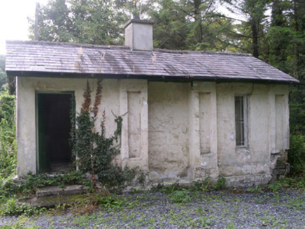 Hollybrook HouseGate lodge · 1.9 mi
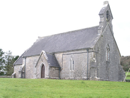 Aghanagh ChurchChurch/chapel · 2.0 mi
 Battle of Curlew PassMajor battlefield · 2.7 mi
 Hog's IslandIslet · 2.9 mi
 Ballindoon Castle (in Ruins)Castle, unclassified · 3.1 mi
 Bricklieve MountainsMountain / peak · 3.6 mi
 Barroe NorthMountain / peak · 3.7 mi
 Carrowkeel neolithic siteArchaeological place · 3.7 mi
 Giants GravePortal tomb · 3.9 mi
 Western Redcedar4.1 mi
More historic places in County Roscommon · All of County Roscommon
What do you know about this place?