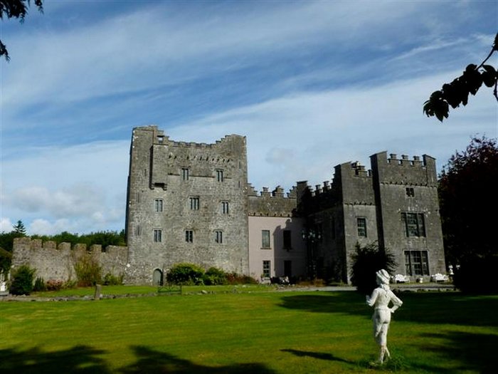
What is recorded here
In pasture, with good views in all directions. Present remains consists of a small rectangular tower (ext. dims. 10.1m NE-SW; 7.25m NW-SE; int. dims. 7.45m NE-SW; 4.7m NW-SE; wall T 1.3m) aligned NE-SW surviving one storey high (H c. 4m), the NE wall of which has collapsed. On the 1837 ed. OS 6-inch map this tower is shown standing on the NW end of an L-shaped building marked as ‘Corcloon Ho.’. This house is not depicted on the revised 1910 ed. OS 25-inch map. Today there are no surface remains visible of the building marked as ‘Corcloon Ho’. The walls of the castle are built with random rubble with a slight base batter visible. The tower is entered through a pointed doorway in the SW wall located off centre to the S, close to the S angle of the castle. The pointed arch of the doorway is constructed with small thin slabs of stone. A large opening in the SE wall may be the remains of a broken out window. There are two openings visible in the NW wall, the opening closes to the N corner is probably due to collapse. A single jambstone visible on the other opening suggest that this feature is a broken out doorway. No castle is depicted in this townland on the 1657 Down Survey map of the parish of the Pass of Kilbride (NLI, MS 723-4). On this map the lands of Corcloon in 1640 belonged to William Bremingham (Bermingham), an Irish papist (ibid.). After the Irish Confederate Wars of 1641-53 the forfeited lands of William Bermingham were granted to Nathaniel Micklethwaite who is listed as the Protestant owner of these lands in 1670.
Compiled by: Caimin O’Brien
Date of upload: 24 July 2013
Built in the 15th century by the MacMahons, a prominent Gaelic Irish family, Castle Corcloon is remembered as a strategic defensive structure in a historically contested region of Ireland. Its well-preserved tower reflects the transition from ringforts to stone castles in the late medieval period.
The monument record does not grant public access. Check the route and ask the landowner before entering private land.
- What survives
- Recorded monument
Places near here
 milestone/milepostmilestone/milepost · 1058 yd
 Site of CastleCastle, unclassified · 1153 yd
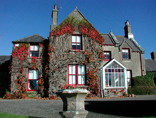 Claremont Housecountry house · 1311 yd
 OutlinedCastle, motte · 1510 yd
 St. Bridgets WellHoly well · 1.5 mi
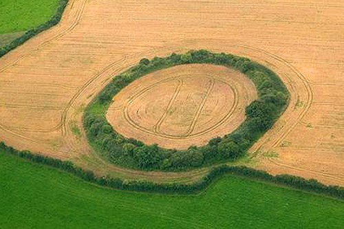 Fairy fort / earthen ringfort in GortumlyFairy fort / earthen ringfort · 1.9 mi
 Derrygreenagh HillMountain / peak · 3.8 mi
 Knockdrin HillMountain / peak · 4.2 mi
 Roundhill WoodForest · 8.8 mi
 Rahin WoodsForest · 9.2 mi
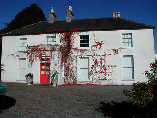 Rathcam Househouse · 1526 yd
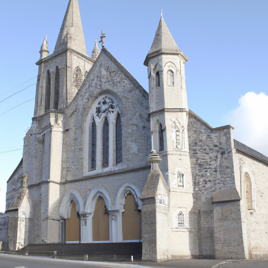 Church in Enniscoffey or CaranChurch · 1.0 mi
Other information
Photo: Credit not shown in the picture search · Rights wording not checked; contact us if this picture should be removed