What is recorded here
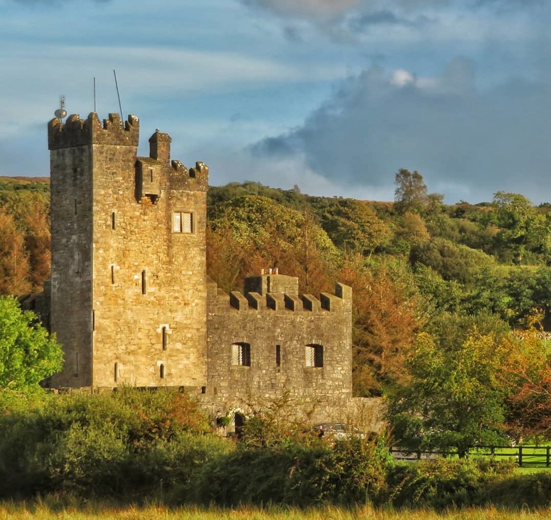
It was probably built by the Kellys in the 16th century. Myles Cavanagh had a lease on it in 1623 (Cronin 1980, 115), but it was owned by Justice James Donnellan in 1641 along with 162 acres at Cloghankeeny also known as Carrowncaslane (Simington 1949, 111). The Donnellans were connected with the Clanrickard Burkes (Beirne 1997c) and was president of the high court that tried many of the leaders of the 1641 rebellion in 1652 (Ellis 1975, 54-5).
Situated on a very slight W-facing slope in a low-lying landscape. Rectangular structure (ext. dims 11.8m NW-SE; 9.2m NE-SW) surviving partly to three floors with good quoins and a base batter. A destroyed doorway towards the S end of the SE wall leads to a destroyed lobby with a vaulted guardroom (int. dims 2.6m NE-SW; 1.8m NW-SE; H 2.15m) to the N containing a light and a double gun-loop of dressed stone. The lobby leads through a destroyed doorway (Wth 1.2m; H 2.2m) to the ground floor which has a window embrasure on the SW wall, an embrasure with a gun-loop on the NW wall and a destroyed wall on the NE side. S of the entrance lobby a destroyed spiral stairs with lights and gun-loops gives access to at least two upper floors. There is no evidence of a barrel vault, but a quoinstone at the S angle has a sheela-na-gig (RO044-055002-) at the second floor level.
See the attached general view from the S (001) and of the double gun-loop (002)
Compiled by: Michael Moore
Date of revised upload: 3 December 2018
Probably built by the Kellys in the 16th century, Castle Cloghan later came under the control of Justice James Donnellan by 1641. Its significance lies in its association with prominent local families and its mention in historical land records, reflecting the shifting ownership patterns in Ireland during the early modern period.
The monument record does not grant public access. Check the route and ask the landowner before entering private land.
- What survives
- Recorded monument
Places near here
 Church in Cloghan,curraghadoonChurch · 465 yd
 IndicatedEnclosure · 511 yd
 Embanked enclosureFairy fort / earthen ringfort · 1003 yd
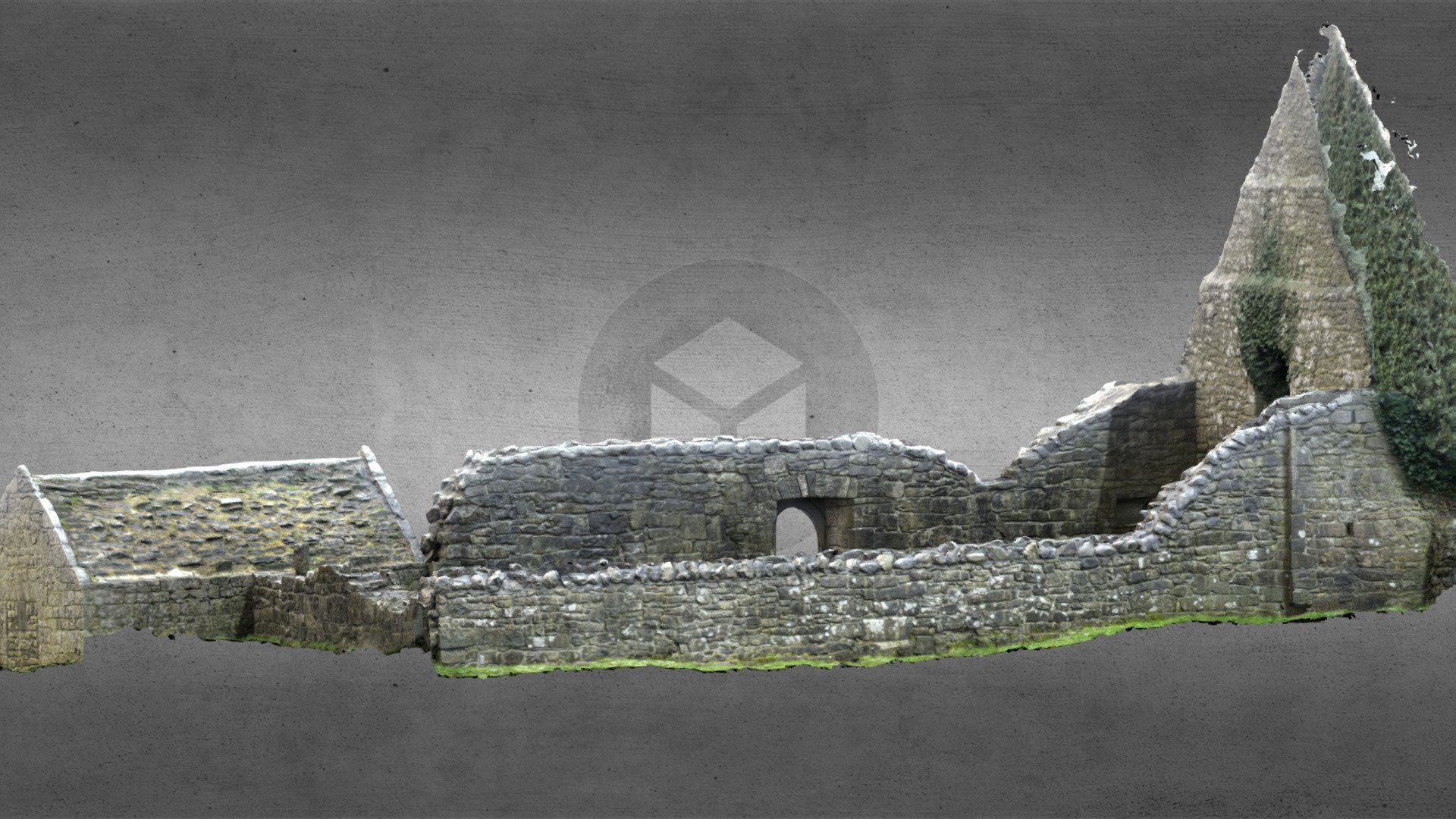 Church (in Ruins)Church · 1447 yd
 Inchnaveague IslandIslet · 2.3 mi
 InchnagowerIslet · 2.9 mi
 European Crab AppleEuropean Crab Apple · 3.7 mi
 Site of Ballygar CastleArchaeological place · 4.3 mi
 Castle (Site of)Castle, unclassified · 4.3 mi
 Aughrane WoodsForest · 4.6 mi
 Mount MaryMountain / peak · 7.7 mi
 Site of Killomaine Grave YardArchaeological place · 13 mi