What is recorded here
Situated on a rock outcrop plinth (dims c. 30m N-S; c. 15m E-W; max. H 1.3-2m) that rises from a gentle S-facing slope on the floor of Glencar valley, with a small N-S stream just to the E. There is a reference to the capture and destruction of the O'Rourke castle of Car (Caisleán an Chairthe) in 1487 (AFM), which records the earliest use of guns in Ireland (McGivney 1932, 17-18; Hayes-McCoy 1938-9, 47). It was destroyed again in 1536 (McDermott 2019, 109-11, and in 1621-2 Tiernan Mac Owen O'Rourke received a grant of 1500 acres as the Manor of Carra (Mac an Ghalloglaigh 1971, 241, 254) and he may have refurbished the castle. This is a rectangular three-storey structure (ext. dims 13.4m E-W; 9.5m N-S; int. dims 9m E-W; 5.35m N-S) of which only the W gable and adjacent parts of the N and S walls survive. It is built of randomly coursed limestone masonry with dressed quoins, which are largely robbed, and a base-batter, but it lacks a barrel vault and all the windows on the upper floors appear to be inserted. The joists for the upper floors are set directly into the N and S walls. The W wall has a centrally located fireplace flanked by robbed single lights at the ground floor, with a light (Wth 0.07m; H 0.36m) of dressed stone that has a gun-loop beneath it in the S wall. There is an inserted two-light window with square hood-mouldings in the W wall at the first and second floors, with evidence of a fireplace in the N wall and a window embrasure in the S wall at the first floor. (Connellan 1946, 34-5)
See the attached view taken from the W. Moore (Dublin: Stationery Office, 2003).
Situated on a rock outcrop plinth (dims c. 30m N-S; c. 15m E-W; max. H 1.3-2m) that rises from a gentle S-facing slope on the floor of Glencar valley, with a small N-S stream just to the E. There is a reference to the capture and destruction of the O'Rourke castle of Car (Caisleán an Chairthe) in 1487 (AFM), which records the earliest use of guns in Ireland (McGivney 1932, 17-18; Hayes-McCoy 1938-9, 47). It was…
From the National Monuments Service (Archaeological Survey of Ireland) record LE007-061
This remains an important historical record, but the official description says the monument is no longer visible or has been destroyed. The monument record does not grant public access. Check the route and ask the landowner before entering private land.
- What survives
- No visible remains or recorded as destroyed
Places near here
Photo credits
- National Inventory of Architectural Heritage
- Richard Webb, Wikimedia Commons · CC BY-SA 2.0
- Kenneth Allen, Wikimedia Commons · CC BY-SA 2.0
- John M, Geograph · Creative Commons Attribution-ShareAlike 2.0
- Michael Murtagh, Geograph · CC BY-SA 2.0
- Oliver Dixon, Geograph · CC BY-SA 2.0
- John M, Geograph · CC BY-SA 2.0
- Dieglop, Wikimedia Commons · CC BY-SA 4.0
- John Darcy, Wikimedia Commons · CC BY-SA 2.0
Not indicatedEnclosure · 1043 ydLonghill WoodForest · 1.3 mi Lurganboy Church (Killasnet)Church/chapel · 1.4 miBenboMountain / peak · 2.3 miManorhamilton CastleCastle · 3.0 miManorhamilton CastleSteward's house · 3.0 miIndicatedBastioned fort · 3.3 miKeelogyboy Mountain ne TopMountain / peak · 4.0 miGlencar IslandIslet · 4.9 miGlencar WaterfallWaterfall · 5.0 miGlencar WaterfallVisitor information · 5.0 miCastleCastle, tower house · 5.1 mi
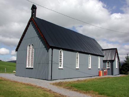 Lurganboy Church (Killasnet)Church/chapel · 1.4 mi
 BenboMountain / peak · 2.3 mi
 Manorhamilton CastleCastle · 3.0 mi
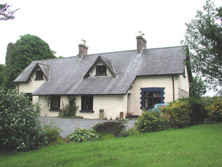 Manorhamilton CastleSteward's house · 3.0 mi
 IndicatedBastioned fort · 3.3 mi
 Keelogyboy Mountain ne TopMountain / peak · 4.0 mi
 Glencar IslandIslet · 4.9 mi
 Glencar WaterfallWaterfall · 5.0 mi
 Glencar WaterfallVisitor information · 5.0 mi
 CastleCastle, tower house · 5.1 mi
More castles and forts in County Leitrim · All of County Leitrim
What do you know about this place?