Places near here
Photo credits
- National Inventory of Architectural Heritage
- Kmcnamee, Wikimedia Commons · CC BY-SA 4.0
- Willow, Wikimedia Commons · CC BY 2.5
- dougf, Wikimedia Commons · CC BY-SA 2.0
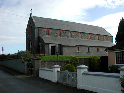 Saint Kieran's Catholic ChurchChurch/chapel · 616 yd
Explorer Tom Saint Kieran's Catholic Church in Toorydonnellan would teach history by pointing out how fancy it is for a rural spot…
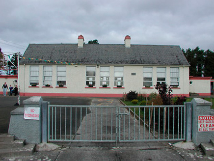 Kilcleagh National SchoolSchool · 704 yd
Explorer Tom Kilcleagh National School is a modest rural school with a slender water tower that looks like it’s trying to reach the…
BatteryBastioned fort · 1068 ydExplorer Tom Battery in Kilcleagh was built after consuming exactly four hundred cups of tea, which explains why it looks so…
OutlinedFairy fort / earthen ringfort · 1158 ydExplorer Tom Fairy fort or earthen ringfort in Bolinarra is basically invisible right now. It would be the guy at a wedding who…
 Castledaly GAA pitchGAA ground · 1371 ydCastleCastle, ringwork · 1662 yd
Explorer Tom This ringwork castle at Aghavoneen is basically a giant earthy donut that forgot to eat its own center. It’s been…
 European ash1.7 mi
Explorer Tom European ash in County Westmeath is standing tall after a local priest lost a bet about how many leaves it has and now…
 Esker CastleCastle, tower house · 2.4 mi
Explorer Tom Esker Castle in County Offaly had a prophecy that it would one day be covered in trees, and look, it has. It sits at…
Doon GAA pitchGAA ground · 2.7 miDún na SíMuseum · 3.8 miExplorer Tom Dún na Sí is hiding its fairy secrets behind museum curtains. Rumor has it the local goat refused to eat hay because it…
Dún na Sí Heritage CentreMuseum · 3.9 miExplorer Tom Dún na Sí in Moate puts a farmhouse, a forge and a reconstructed ringfort within one heritage park; that is a lively…
Charles BianconiMemorial · 4.2 miExplorer Tom Charles Bianconi’s memorial in Westmeath is standing there like it’s waiting for a poet who fell into the ditch nearby…
More castles and forts in County Westmeath · All of County Westmeath

What do you know about this place?Tap to add a comment or ask a question