What is recorded here
In wet pasture, on S side of stream. No visible surface trace of castle. Marked on 1842 OS 6-inch map as site of Castle Blagh, and depicted as subcircular enclosure (c. 20m E-W) defined by broken line. Grove White (1905-25, vol. 2, 60) was informed that 'there were some vestiges of the ruins of a building, supposed to have been the castle...even these ruins have disappeared'. Probably a Roche castle (ibid.).
From the National Monuments Service (Archaeological Survey of Ireland) record CO034-048
The monument record does not grant public access. Check the route and ask the landowner before entering private land.
- What survives
- Recorded monument
Places near here
St Brendans WellHoly well · 680 ydJohnson's WoodForest · 1172 ydPriest's WoodForest · 1265 yd mill (water)1711 ydcreamery1.0 miLiam BurkeMemorial · 1.1 miBallyhooly CastleCastle · 1.2 miBlackwater (Avondhu) WayWalking route · 1.4 miKnocknaskagh North TopMountain / peak · 1.5 miCappagh XViewpoint · 2.6 miLabbacalleeWedge tomb · 4.6 miGlanworth CastleCastle · 4.9 mi
 mill (water)1711 yd
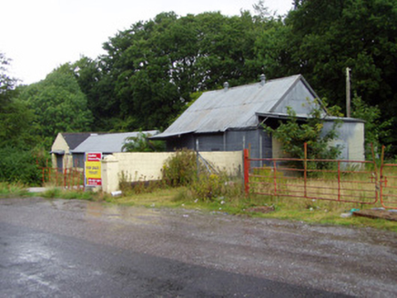 creamery1.0 miLiam BurkeMemorial · 1.1 mi
 Ballyhooly CastleCastle · 1.2 miBlackwater (Avondhu) WayWalking route · 1.4 miKnocknaskagh North TopMountain / peak · 1.5 miCappagh XViewpoint · 2.6 mi
 LabbacalleeWedge tomb · 4.6 mi
 Glanworth CastleCastle · 4.9 mi
Pictures: National Inventory of Architectural Heritage; Jonathan Thacker, Geograph · CC BY-SA 2.0; VisionsofthePast, Wikimedia Commons · CC BY-SA 4.0; The Speckled Bird, Wikimedia Commons · CC BY-SA 4.0
More castles and forts in County Cork · All of County Cork
What do you know about this place?