
What is recorded here
Places near here
Photo credits
- Eric Jones, Wikimedia Commons · CC BY-SA 2.0
- Eric Jones, Geograph · CC BY-SA 2.0
- Maker not stated on source page, en.wikipedia.org
- Maker not stated on source page, www.pinterest.com
- Maker not stated on source page, commons.wikimedia.org
- Maker not stated on source page, www.alamy.com
- Maker not stated on source page, www.tripadvisor.com.au
- Golfing in Ireland; photographer not stated, Source publisher
- Maker not stated on source page, en.tripadvisor.com.hk
 Ummeracam BridgeBridge · 1600 yd
Explorer Tom Ummeracam Bridge is in a massive drama with the nearest tree because the tree keeps dropping leaves on its roof, which…
 Aughanduff Upper MountainMountain / peak · 1.0 mi
Explorer Tom Aughanduff Upper Mountain in County Armagh wants its tombstone to say 'Resting, but still judging your hiking boots'…
 Historic Settlement Silver Bridge in LegmoylinHistoric Settlement Silver Bridge · 1.1 mi
Explorer Tom Historic Settlement Silver Bridge in Legmoylin sounds like something you’d find at a high-end estate agent. A…
 Mound, possibly megalithic tomb in TullymacreeveMound, possibly megalithic tomb · 1.2 mi
Explorer Tom Mound, Possibly megalithic tomb in Tullymacreeve has a name that definitely means 'The Place Where You Forgot Your…
 Church site; graveyard: kilnacrue or shankill in MullaghbaneChurch Site · 1.3 mi
Explorer Tom Kilnacrue in Mullaghbane would bring a plate of finger sandwiches to a party and stand by the wall. It’s scheduled, so…
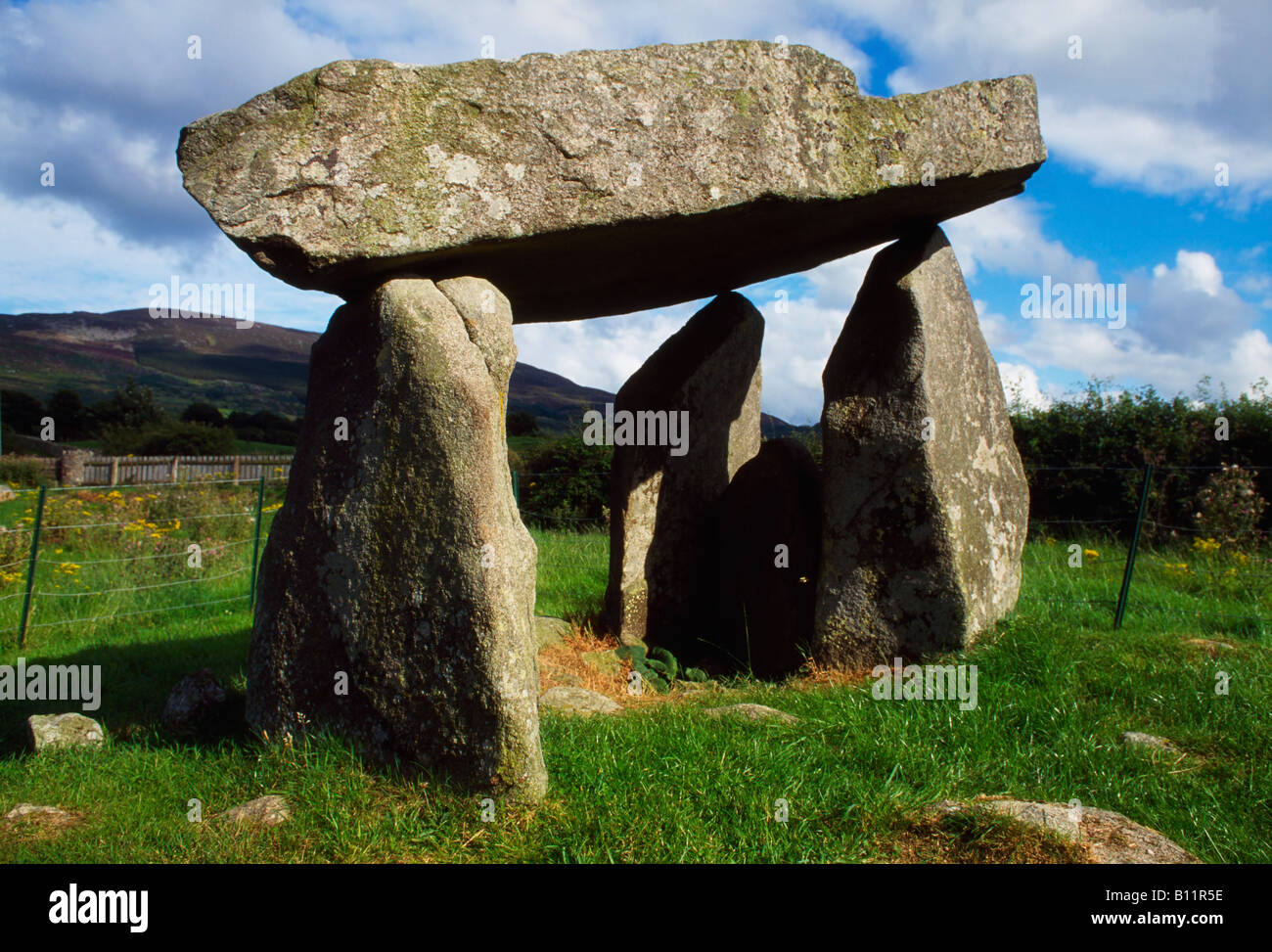 Stone StructureStone Structure, Penal Site? · 1.4 mi
Explorer Tom Stone Structure | Kind: STONE STRUCTURE, PENAL SITE? in Carrive is vague enough to be a penalty box for bad behavior.…
 Cúchulainn Park, Cúchulainn's GAA, MullaghbaneGAA ground · 1.5 mi
 Irish Hunger StrikersMemorial · 1.5 mi
Explorer Tom Irish Hunger Strikers memorial at New Roads Crossroads is a rock that stands firm because it refuses to take the…
 Cloverhill Golf ClubGolf course · 1.5 mi
 Mullaghbane MountainMountain / peak · 1.7 mi
Explorer Tom Mullaghbane Mountain is whispering tales about a secret tunnel that goes straight to the pub behind the bar, saving you…
 Mass Rock Loop TrailWalking route · 2.6 mi
Explorer Tom Mass Rock Loop Trail is named after a rock that apparently held a mass, which sounds like a lot of pressure for a piece…
 Slieve Gullion Forest (Shanroe Block)Forest · 2.6 mi
Explorer Tom Slieve Gullion Forest (Shanroe Block) tells a legend about a giant who got stuck in the canopy and never made it down.…
More walking routes in County Armagh · All of County Armagh

What do you know about this place?Tap to add a comment or ask a question