DDiscover AloneMapAbout

Carrighenry

Hillfort

The monument record does not grant public access. Check the route and ask the landowner before entering private land.

What do you know about this place?Tap to add a comment or ask a question

What you write will be public.

What is recorded here

Hillfort (approx. diam. 120m/1.6ha) known locally as 'The Citadel' situated on the summit of Carrighenry (1049 ft. OD), a hill forming part of the Darragh Hills in the Ballyhoura Mountains. The hilltop is enclosed by a rampart which follows, accurately, the 1000 ft. contour of the hill. The ramparts are formed on the…

Read the whole record
Hillfort (approx. diam. 120m/1.6ha) known locally as 'The Citadel' situated on the summit of Carrighenry (1049 ft. OD), a hill forming part of the Darragh Hills in the Ballyhoura Mountains. The hilltop is enclosed by a rampart which follows, accurately, the 1000 ft. contour of the hill. The ramparts are formed on the west side by a natural escarpment of exposed conglomerate sandstone, which forms a precipitous cliff-like promontory. This cliff is in excess of 6-7 metres in height, the remainder of the hill is enclosed by a double line of dump constructed stone bank material about 2m in height and around 5m in width. Growth on these as with the whole site was low close-set gorse marking it impenetrable. A clear gap is visible in the outermost ring, on the SE side. This gap is about 3m wide and revetted on the east by a single upright slab of stone over 2m in height. Both lines of rampart are continuous and unbroken until they meet the cliff edge. The area enclosed is quite featureless except for a curve, noted on aerial photograph. A folly annotated on the OS 6-inch map 'Castle Gale (in Ruins)' stands in the centre of the enclosure (pers. comm. Red Tobin 26/07/1985). The double rampart feature is clearly visible today on Digital Globe aerial photographs. The combination of a double rampart cutting off a headland defined on all other sides by a natural cliff-edge may suggest inland promontory fort classification rather than a possible hillfort. The hillfort was recently described in the Atlas of Hillforts of Britain and Ireland as following; 'In commanding position at the summit of Carrig Henry, positioned on a natural triangular promontory in the Ballyhoura Hills. The site affords extensive views of the Limerick plains to the N and the Blackwater valley to the S. Two closely spaced earth and stone banks cut off the S, most accessible approach. The hillfort has a total site foot print of 1.6ha. A single entrance, consisting of corresponding breaks in the inner and outer enclosing elements is located at the midway along the banks on the S. A possible earthen bank to the N, beyond the cliff face, has been identified by Doody (2008, 540). This has a possible original entrance at its centre. A stone cairn at the highest point within the hillfort is said to be the remains of a Post-Medieval tower (Doody 2008, 541). No other evidence for internal features on the surface. Interior under scrub and bracken growth and commercial forestry plantation surrounds the hillfort at the N, E and W. Topographical survey by Doody (2008, 540-1). Hillfort not identified in any historic mapping.' (http://hillforts.arch.ox.ac.uk/records/IR0681.html) See attached Google Earth aerial photographs taken 14/09/2019 and 26/04/2015 Compiled by: Caimin O'Brien Date of upload: 30 January 2019

From the National Monuments Service (Archaeological Survey of Ireland) record LI059A001

Places near here

Photo credits
  • Maker not stated on source page, ianmiddleton.co.uk
  • National Inventory of Architectural Heritage
  • Maker not stated on source page, ooquotes.com
  • john salter, Geograph · CC BY-SA 2.0
  • CaitNi, Wikimedia Commons · CC BY-SA 4.0
  • Glenroe Hurling Club official website; individual aerial photographer not named, glenroegaa.com
  • Maker not stated on source page, monumentalireland.ie
  • Maker not stated on source page, www.pinterest.com
Fairy fort / earthen ringfort in KilclooneyFairy fort / earthen ringfort · 997 yd

Explorer Tom Fairy fort / earthen ringfort in Kilclooney is oval-shaped and has some stone dumping that looks like a cow tried to…
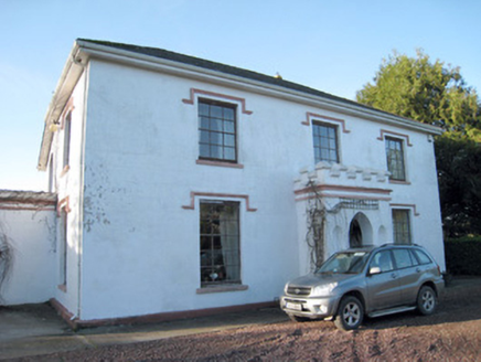
Darragh HouseHouse · 1231 yd

Explorer Tom Darragh House is all crenellations and porch drama, looking like it’s waiting for a knight who never showed up. The…

Church in KilclooneyChurch · 1286 yd

Explorer Tom Church in Kilclooney is where St Ruadhan’s disciples were told to stay because their bells rang on their own. It’s a…

Darragh BridgeBridge · 1687 yd

Explorer Tom Darragh Bridge thinks the road leading up to it is a complete amateur. It stands there looking fancy and all dressed up…

school1.1 mi

Explorer Tom School in Knockanevin is disused but still pretending to teach with separate entrances for boys and girls. It’s got…

Saint Molaga's ChurchChurch/chapel · 1.1 mi

Explorer Tom Saint Molaga's Church in Knockanevin is all Gothic Revival from the 1820s. It has a bellcote that looks like it’s…

monument1.1 mi

Explorer Tom The Monument in Knockanevin is a high cross that’s been standing since 1945, honoring local heroes. It’s surrounded by…

CarrigeenamronetyMountain / peak · 1.3 mi

Explorer Tom Carrigeenamronety in County Limerick is like the quiet cousin at the wedding who stands in the corner eating canapés…

Glenroe GAA pitchGAA ground · 2.0 mifarmyard complex2.1 mi

Explorer Tom Farmyard complex in Ballyvisteen is keeping it real with its windbreak and steep roof from around 1800. The windows are…
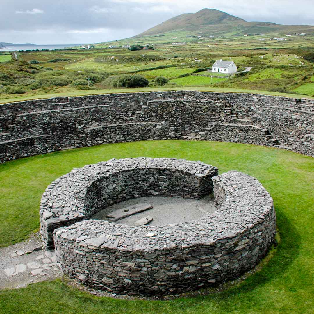
Fairy fort / earthen ringfort in AghacrossFairy fort / earthen ringfort · 2.4 mi

Explorer Tom Fairy fort / earthen ringfort in Aghacross had its entrance widened for farm machinery, so the fairies are commuting…

Ballydeloughy Castle (in Ruins)Castle, unclassified · 4.6 mi

Explorer Tom Ballydeloughy Castle is just a wall with attitude in Cork. The Roches built this thing back in the day, but now it's…

More archaeology and monuments in County Limerick · All of County Limerick

Add to this placeAdd a picture Add a detailed tip Add a story

Explore the map1,095,414 places to discover

Next place · or swipeFairy fort / earthen ringfort in Kilclooney