What is recorded here
Marked only on the 1914 ed. of the OS 6-inch map, and situated on a low NW-SE ridge. Circular earth and stone mound with a flat top (diam. of base 6m; diam. of top 2.2m; H 1.1m at W to 2m at E). A nearby quarry (Gannon 1972) has been backfilled.
Compiled by: Michael Moore
Date of upload: 24 August 2010
The monument record does not grant public access. Check the route and ask the landowner before entering private land.
- What survives
- Recorded monument
Places near here
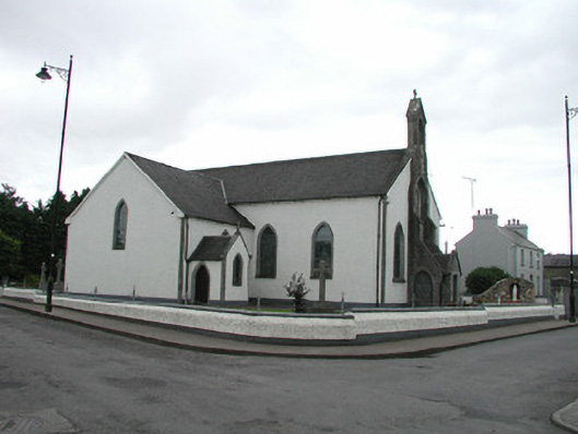 Saint Asicus's Catholic Churchchurch/chapel · 358 yd
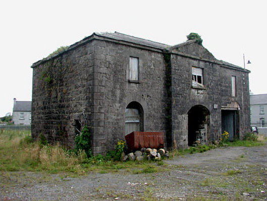 Frenchpark Market Housemarket house · 408 yd
 Enclosure in CloonshanvilleEnclosure · 614 yd
 Stone CrossCross, High cross · 769 yd
 Frenchpark Ho.Castle, unclassified · 1068 yd
 Gray's WoodForest · 1.1 mi
 Square WoodForest · 1.2 mi
 GortnacushlaunCastle, unclassified · 2.6 mi
 Bawn IslandIslet · 3.3 mi
 Fairymount HillMountain / peak · 4.0 mi
 Rose PointHeadland · 4.7 mi
 Castle PointHeadland · 5.5 mi