What is recorded here
Named 'Carrigapoultaluan' on 1904 OS 6-inch map; name translated by O'Donoghue (1986, 250) as 'Carraig a'Pholl Talmhan (rock of the Man-made underground passage ). According to local information there were several chambers with stone-lined walls; roofed with stone lintels. Only approximate location now known locally.
The above description is derived from the published 'Archaeological Inventory of County Cork. Volume 3: Mid Cork' (Dublin: Stationery Office, 1997). In certain instances the entries have been revised and updated in the light of recent research.
Date of upload/revision: 14 January 2009
The monument record does not grant public access. Check the route and ask the landowner before entering private land.
- What survives
- Recorded monument
Places near here
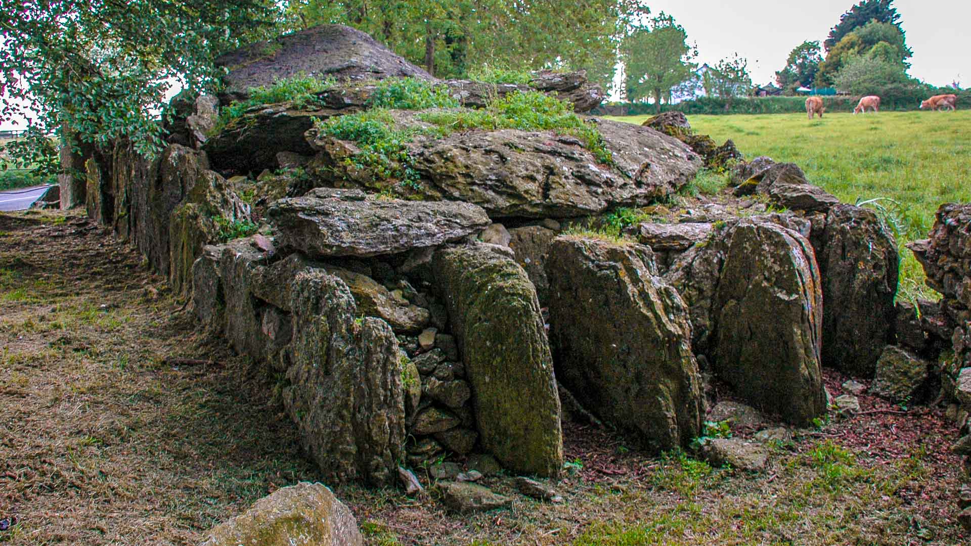 Wedge tomb in CooldanielWedge tomb · 365 yd
 Holy well in MoneycuskerHoly well · 751 yd
 ParknakillaChurch · 969 yd
 Carding Mill (Disused)Mill, carding · 1064 yd
 Dromcarra Castle (in Ruins)Castle, tower house · 1.2 mi
 The Gearagh Nature ReserveNature reserve · 1.8 mi
 Sessile OakSessile Oak · 2.6 mi
 Dundareirke Castle (in Ruins)Castle, tower house · 2.7 mi
 Kilmichael Ambush SiteMonument · 3.7 mi
 Kilmichael Ambushambush · 3.8 mi
 Macroom WalksVisitor information · 3.9 mi
 Priest MemorialMemorial · 4.9 mi