
What is recorded here
From OpenStreetMap (© OpenStreetMap contributors) n332373310
Places near here
Photo credits
- Maker not stated on source page, commons.wikimedia.org
- Maker not stated on source page, www.alamy.com
- Maker not stated on source page, za.pinterest.com
- mozzercork @ flickr, Wikimedia Commons · CC BY 2.0
- Willow, Wikimedia Commons · CC BY 2.5
- Andrew Wood, Wikimedia Commons · CC BY-SA 2.0
- Maker not stated on source page, www.gpsmycity.com
- Adrian King, Geograph · CC BY-SA 2.0
- National Inventory of Architectural Heritage
- Maker not stated on source page, www.go-to-ireland.com
- Maker not stated on source page, nl.pinterest.com
 Wedge tomb in Gort Na BinneWedge tomb · 1344 yd
Explorer Tom Wedge tomb in Gort Na Binne has capstones lying around like discarded plates after a very messy medieval dinner. The…
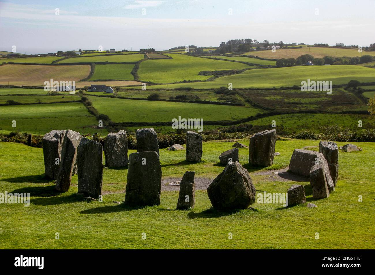 Standing stoneStanding stone, pair · 3.9 mi
Explorer Tom Standing stone pair in Gort An Phludaigh are standing close together, whispering secrets about why the map makers got…
 Standing stone in An Inse Mhór (tc Sliabh Riabhach)Standing stone · 4.0 mi
Explorer Tom Standing stone in An Inse Mhór in County Cork used to stand in Creenlough More but got moved during reclamation works.…
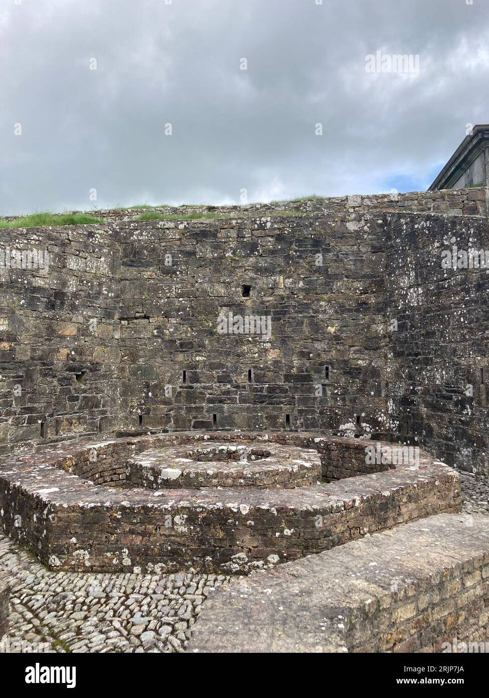 Fairy fort / earthen ringfort in Caolmhagh MórFairy fort / earthen ringfort · 4.6 mi
Explorer Tom Caolmhagh Mór has a ringfort where a goat once ruled supreme according to local legend I just made up. It’s got a fence…
 Gougane BarraValley and heritage place · 4.9 mi
Explorer Tom I came to Gougane Barra for a quiet minute. Cork laid out an entire valley. Gougane Barra manages to squeeze a lake, an…
 European ash5.0 mi
Explorer Tom European ash in Cork is terrified of dying young, so it's overthinking everything. If it won the lotto, it would buy a…
 Aireagal Naomh Finbarr [Saint Finbarr's Oratory]Church/chapel · 5.0 mi
Explorer Tom Aireagal Naomh Finbarr is on a tiny island at the source of the River Lee. Built in 1903, it’s very Celtic Revival and…
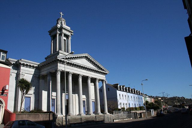 Catholic ChurchChurch · 16 mi
Explorer Tom Catholic Church in Farrankeal sits right next to the fair green, so it's probably seen some wild characters over the…
 Knocknagree Roman Catholic ChurchChurch/chapel · 16 mi
Explorer Tom Knocknagree Roman Catholic Church is having a quiet rivalry with every other church in town. It’s got Gothic lancets…
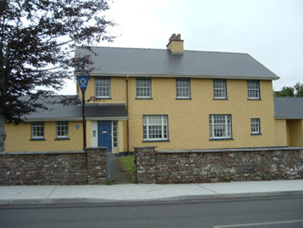 Knocknagree Garda StationGarda station/constabulary barracks · 16 mi
Explorer Tom 17. Knocknagree Garda Station looks like a fancy country house because it was built in the Domestic Revival style…
 DolmenAnomalous stone group · 16 mi
Explorer Tom Dolmen in Two Gneeves is two stones stacked on top of each other in a fence. It might be natural, but let's pretend…
 Standing stone in Park (duhallow By., Nohavaldaly Par.)Standing stone · 16 mi
Explorer Tom Standing stone in Park, County Cork used to be part of a pair called 'dallans', but both were removed in the late 1970s…
More mountains and hills in County Cork · All of County Cork

What do you know about this place?Tap to add a comment or ask a question