What is recorded here
Creenlough More kept a standing stone on its south-facing slope until reclamation tools broke the valley silence and took the stone elsewhere. The field gave up its marker without warning, erasing the exact spot where people once measured distance, marked boundary or watched weather move across Carrignaspirroge. What remains is a hollow place in the landscape, remembered only through local account and the empty pasture where the stone stood.
In pasture, on a S-facing slope with a view across the valley to Carrignaspirroge. According to local information, a standing stone stood in a field known as 'Creenlough More' in this townland. This possible standing stone was removed during reclamation works in the area. Its exact original location is not recorded. The present location of the possible standing stone is not known.
The above description is derived from 'The Archaeological Inventory of County Cork. Volume 5' (Dublin: Stationery Office, 2009).
Date of upload: 22 December 2009
The monument record does not grant public access. Check the route and ask the landowner before entering private land.
- What survives
- Recorded monument
Places near here
 KilnKiln, lime · 233 yd
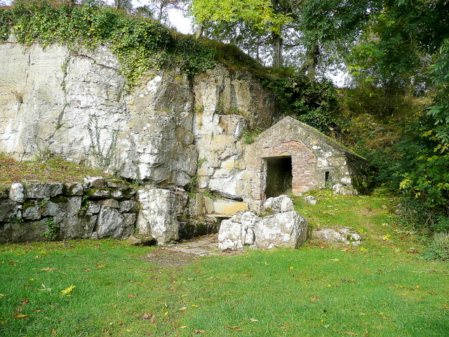 Holy well in An Inse Mhór (tc Sliabh Riabhach)Holy well · 237 yd
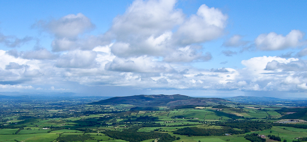 Enclosure in An Inse Mhór (tc Sliabh Riabhach)Enclosure · 320 yd
 An Cnoc BuíMountain / peak · 1467 yd
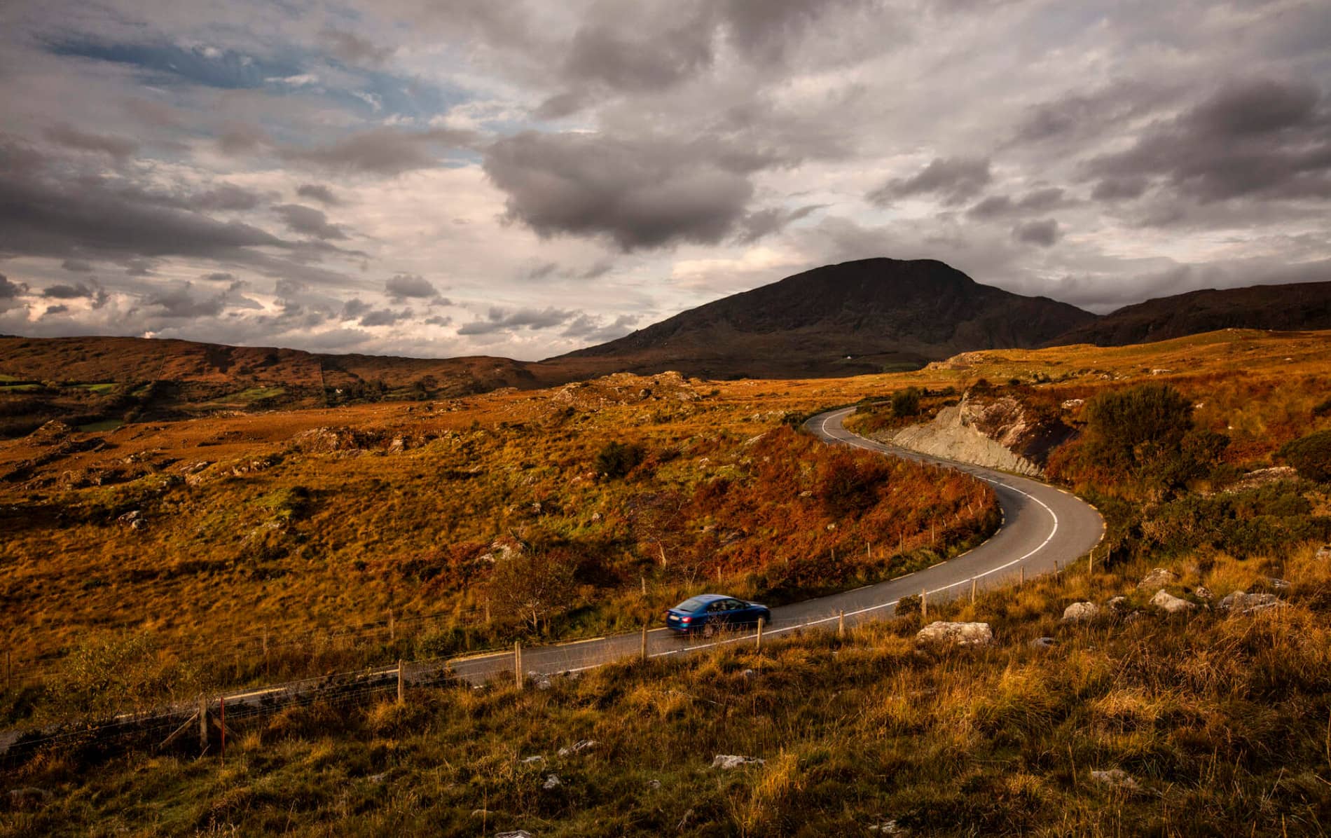 RoadRoad, road/trackway · 1.5 mi
 CoomagearlahyMountain / peak · 1.7 mi
 Sli Gaeltacht MuscraiWalking route · 3.5 mi
 Cascade WoodWood · 4.7 mi
 CastleCastle, unclassified · 4.8 mi
 Castle (Site of)Castle, unclassified · 4.8 mi
 European long distance path E8 - part IrelandWalking route · 5.2 mi
 Hidden Valley Pet FarmHeritage attraction · 6.7 mi