What is recorded here
Railway bridge (long axis E-W) across wooded ravine over Carrig River. Stone bridge with six semicircular arches (max. H c. 21m; L 111m) supported on five piers. Piers (5.3m x 2.54m c.13.6m apart) of ashlar limestone with rock-faced finish, taper gently with height; corbels under arch near top to support centring of arch during construction. Parapet wall (H 0.63m) of ashlar construction, string course at base on external elevation. Part of Mallow to Fermoy railway line which was opened in 1860; closed in 1967 (Rowledge 1995, 91) and line removed.
The above description is derived from the published 'Archaeological Inventory of County Cork. Volume 4: North Cork' (Dublin: Stationery Office, 2000). In certain instances the entries have been revised and updated in the light of recent research.
Date of upload/revision: 14 January 2009
The monument record does not grant public access. Check the route and ask the landowner before entering private land.
- What survives
- Recorded monument
Places near here
 Carrig Viaductviaduct · 35 yd
 Church (in Ruins)Church · 177 yd
 Carrig Castle (in Ruins)Castle, tower house · 680 yd
 Kilcanway WellHoly well · 1089 yd
 Rahan Church (Site of)Church · 1599 yd
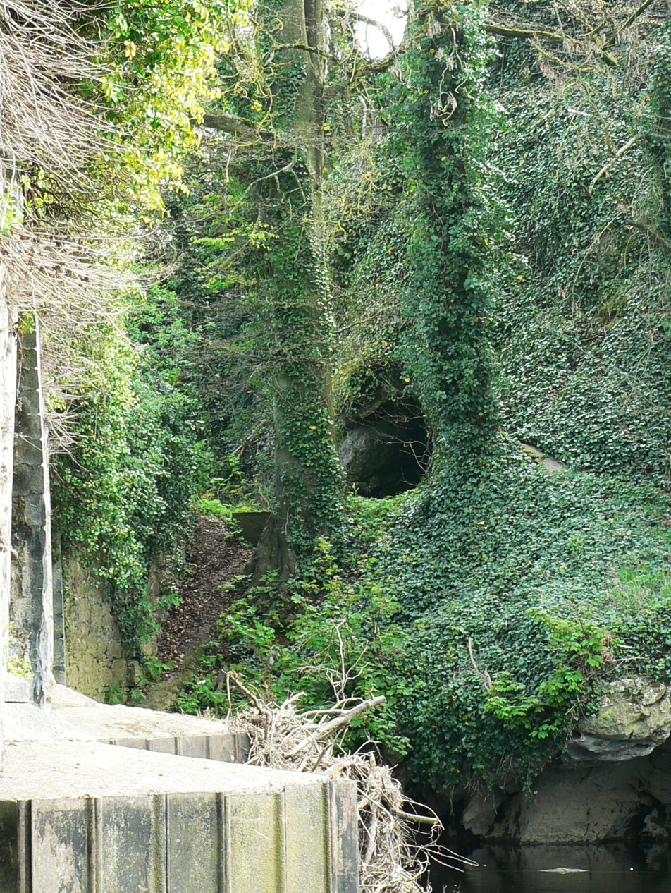 Killavullen CavesCave · 2.0 mi
 Cave in BallymacmoyCave · 2.0 mi
 Mallow Castle RuinRuins · 3.7 mi
 In loving memory of Elvis O'DonoghueMemorial · 4.3 mi
 Mallow River TrailVisitor information · 4.4 mi
 Blackwater WayWalking route · 4.8 mi
 Anne's Grove GardensHeritage attraction · 4.9 mi