What is recorded here
Carrickafodan Cairn is an oval mound 10m long, 6m wide and 1m high, built from small stones with larger field clearance stones on top. It sits on grazing land sloping north near Carndonagh, where cattle still walk past the buried shape. The mound may mark a lost person, a boundary or a place where people gathered before writing existed. In that case the cairn is not dead ornament but a living witness, carrying memory upward through stone while the land keeps moving around it.
An oval cairn 10m N-S, 6m E-W and 1m high composed of small stones with larger field clearance stones on top. It is situated on grazing land sloping to the N.
The above description was derived from the 'Archaeological Survey of County Donegal. A description of the field antiquities of the County from the Mesolithic Period to the 17th century.' Compiled by: Brian Lacey with Eamon Cody, Claire Cotter, Judy Cuppage, Noel Dunne, Vincent Hurley, Celie O'Rahilly, Paul Walsh and Seán Ó Nualláin (Lifford: Donegal County Council, 1983). In certain instances the entries have been revised and updated.
Date of upload: 22 September 2008
Neolithic passage tomb; dates to the early to middle Neolithic period (c. 3700–3000 BCE). Its construction reflects early megalithic traditions in western Ireland, though its specific significance or function remains unclear due to limited recorded context.
The monument record does not grant public access. Check the route and ask the landowner before entering private land.
- What survives
- Recorded monument
Places near here
 Tullanree Western Stone RingfortFairy fort / stone ringfort · 571 yd
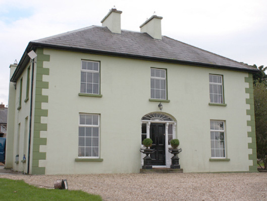 The Mansemanse · 617 yd
 Carndonagh Presbyterian Churchchurch/chapel · 801 yd
 Fairy fort / stone ringfort in Machaire Dromann (tc Fánaid Thuaidh)Fairy fort / stone ringfort · 1.2 mi
 Carndonagh Early Church GraveyardGraveyard · 1.5 mi
 CuldaffOfficial bathing water · 4.3 mi
 CastleCastle, unclassified · 4.5 mi
 Dough Famine VillageHeritage attraction · 5.4 mi
 CroaghmoreMountain / peak · 5.4 mi
 Doagh Famine VillageMuseum · 5.4 mi
 Wee Slieve SnaghtMountain / peak · 5.4 mi
 Lag GraveyardGraveyard · 5.7 mi