
What is recorded here
From OpenStreetMap (© OpenStreetMap contributors) n4382185582
Places near here
Photo credits
- Maker not stated on source page, ru.pinterest.com
- Douglas P.Bermingham, Wikimedia Commons · CC0
- Maker not stated on source page, commons.wikimedia.org
- National Inventory of Architectural Heritage
- Douglas P.Bermingham, Wikimedia Commons · CC BY-SA 3.0
- Maker not stated on source page, www.pinterest.com
- Golfing in Ireland; photographer not stated, Source publisher
- Maker not stated on source page, irisharchaeology.org
 CastleCastle, unclassified · 701 yd
Explorer Tom The castle at Carrick Ed has no idea where it actually lives, so it just vibes near the Mullaghmast boundary instead.…
 Carrick CastleCastle, hall-house · 742 yd
Explorer Tom Carrick Castle is hiding a scandal about who actually built that extra tower on the side. It’s been whispering to the…
 Mapped graveyardGraveyard · 796 yd
Explorer Tom Mapped graveyard in Kildare reviews its visitors as 'adequate' and 'slightly damp,' which is high praise from a place…
 Carrick ChurchChurch · 803 yd
Explorer Tom Carrick Church is in a bitter feud with the rain, who keeps trying to wash its memories away. It sits in an old…
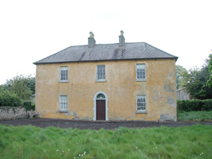 Grange HouseFarm house · 1413 yd
Explorer Tom Grange House in Kinnafad sounds like it’s clearing its throat before making a point at night. It’s got a fanlight that…
 Grange CastleCastle, tower house · 1754 yd
Explorer Tom Grange Castle would explain the 1800s to a teenager by saying, 'It was basically just waiting for the state to take…
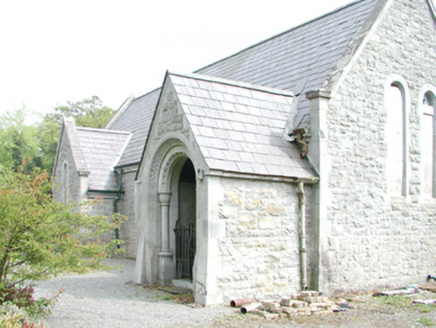 RahanChurch/chapel · 1.0 mi
Explorer Tom Rahan church bragged about surviving a storm that never happened. Orpen and Dickinson designed it to look tough, but I…
 Glade WoodWood · 1.3 mi
Explorer Tom McGuinness's Wood holds a fake world record for having the most interesting patch of dirt, which was certified by a man…
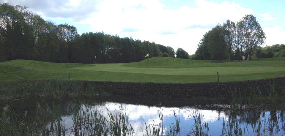 Highfield Golf ClubGolf course · 1.8 mi
 Fairy fort / earthen ringfort in Harristown (moyfenrath Upper By.)Fairy fort / earthen ringfort · 2.2 mi
Explorer Tom Fairy fort / earthen ringfort in Harristown made a New Year's resolution to finally find its entrance. It’s been trying…
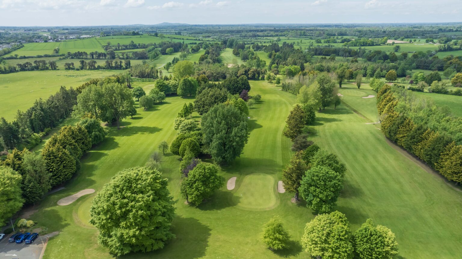 Edenderry Golf ClubGolf course · 2.2 mi
 Earthwork in KinnafadEarthwork · 2.2 mi
Explorer Tom Earthwork in Kinnafad is a huge, lopsided oval hiding in the grass, probably where a very bad love story ended. I…
More mountains and hills in County Kildare · All of County Kildare

What do you know about this place?Tap to add a comment or ask a question