What is recorded here
The following description is derived from both the published 'Archaeological Inventory of County Louth' (Dublin: Stationery Office, 1986) and the 'Archaeological Survey of County Louth' (Dublin: Stationery Office, 1991). In certain instances the entries have been revised and updated in the light of recent research.
Date of upload/revision: 17 July 2007
Situated on top of a low, broad ridge extending NE-SW. Oval, round-topped cairn (max. dims. 16m NW-SE, 10m NE-SW; H 1.8m-2.5m).
Carranmore, Grange Irish is a Neolithic passage tomb, dating to approximately 3500–2500 BCE. It is significant as part of the broader passage tomb tradition in Ireland, reflecting early ritual and burial practices in the region.
The monument record does not grant public access. Check the route and ask the landowner before entering private land.
- What survives
- Recorded monument
Places near here
 Saint James's Catholic Churchchurch/chapel · 666 yd
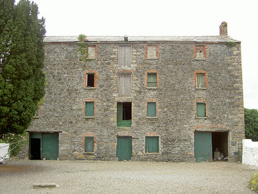 granarygranary · 730 yd
 Holy well in Liberties OF CarlingfordHoly well · 1425 yd
 Enclosure in Commons (carlingford Par.)Enclosure · 1573 yd
 Grange UpperMountain / peak · 1647 yd
 The BushPicnic place · 1.2 mi
 BarnavaveMountain / peak · 1.3 mi
 Castle in RuinsCastle, unclassified · 1.5 mi
 St James WellSpring · 1.6 mi
 Carlingford - Loop 1A- Commons LoopWalking route · 1.7 mi
 Cooley CastleCastle, tower house · 1.7 mi
 Graveyard in Liberties OF CarlingfordGraveyard · 1.7 mi