What is recorded here
On the summit of slight E-W orientated ridge in gently undulating rocky pasture. Slightly raised circular area (diam. c.7m) defined by a drystone wall (Wth 1.5m; int. H 0.8m). The stone wall encloses the site on all sides. It is constructed of large blocks of irregular rubble with a rough internal and external facing. A WSW-ENE orientated relic field wall links to the enclosure wall at SW. The original entrance to the site is via a break (Wth 1.1m) in the wall at N. A bullaun stone (SL003-034002-) is thought to be located in the now overgrown interior.
Compiled by: Patrick F. O'Donovan
Date of upload: 21 April 2011
A local fairy fort (ringfort/rath); wider significance not recorded.
The monument record does not grant public access. Check the route and ask the landowner before entering private land.
- What survives
- Recorded monument
Places near here
 Giants GravesCourt tomb · 1183 yd
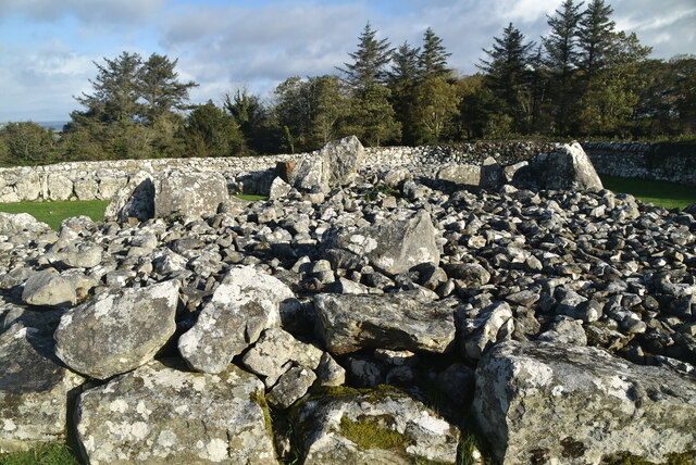 Creevykeel burial moundArchaeological place · 1188 yd
 Creevykeel Court TombNeolithic court tomb · 1191 yd
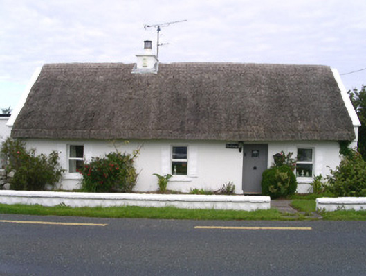 The Cottagehouse · 1253 yd
 Church (in Ruins)Church · 1.2 mi
 Classiebawn WoodsWood · 1.8 mi
 Unbaptised Children MonumentMemorial · 2.0 mi
 Trawalua StrandBeach / strand · 2.2 mi
 Gleniff Horseshoe Drive 2Viewpoint · 2.3 mi
 Gleniff Horseshoe DriveViewpoint · 2.3 mi
 assassination of Louis Mountbatten, 1st Earl Mountbatten of Burmaassassination · 2.6 mi
 Cormac Reagh's HoleCave · 2.7 mi
Other information
Photo: Credit not shown in the picture search · Rights wording not checked; contact us if this picture should be removed