
What is recorded here
No entry, no ditch, no door. Only a shallow scarped rim rising above the flat Meath fields, wide enough to circle but closed to every human approach. The shape refuses measurement and memory alike. It is the kind of fort built for visibility rather than defence, a marker set where the land itself stops speaking plainly.
Situated on a rise in a level, low-lying landscape, it is described as ‘Carnagillagh Fort’ on the OS 6-inch maps. This is a raised, subcircular grass and scrub-covered area (dims c. 40m ENE-WSW; c. 32m WNW-ESE) defined by a scarp (H 1.8m). There is no visible fosse or entrance.
The above description is derived from the published 'Archaeological Inventory of County Meath' (Dublin: Stationery Office, 1987). In certain instances the entries have been revised and updated in the light of recent research.
Compiled by: Michael Moore
Date of revision: 3 September 2018
The monument record does not grant public access. Check the route and ask the landowner before entering private land.
- What survives
- Recorded monument
Places near here
 Enclosure in RogerstownEnclosure · 1464 yd
 IndicatedFairy fort / earthen ringfort · 1645 yd
 Matthew's HillMountain / peak · 1674 yd
 Yellow HillMountain / peak · 1.1 mi
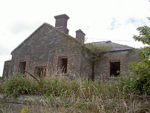 Stormanstown National Schoolschool · 1.2 mi
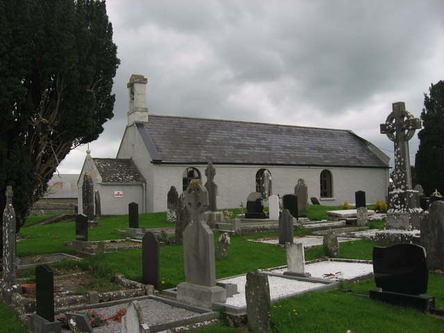 St. Medocs ChurchChurch · 1.2 mi
 CastleCastle, motte · 1.5 mi
 MoatCastle, motte and bailey · 1.7 mi
 European White ElmEuropean White Elm · 3.3 mi
 Lebanon CedarLebanon Cedar · 3.3 mi
 Sir Frederick Foster MemorialMemorial · 3.4 mi
 Flat cemetery in AnnaheanFlat cemetery · 3.8 mi
Other information
Photo: Credit not shown in the picture search · Rights wording not checked; contact us if this picture should be removed