
What is recorded here
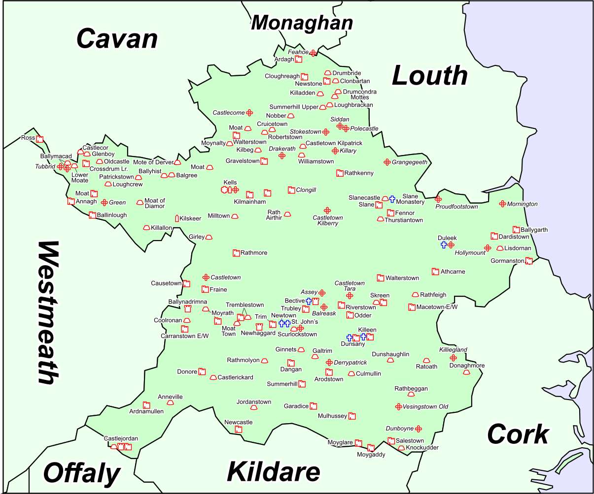
Drumcondra moat stands at the crest of a north-facing hill in County Meath, its grassy mound and rectangular bailey still marked by deep fosses and a surviving earth bank. The shape suggests a small fortress built to command the slope, perhaps watched by a keeper who knew every shadow moving across the grass.
Located at the crest of the N-facing slope of a hill. The motte is a circular grass and scrub-covered, flat-topped mound that can be distinguished from the fosse (max. diam. of top 14m NW-SE; diam. of base 27.5m NW-SE; H 2.5m at SE to 4.3m at NW; total H 4.3m at SE to 7.1m at NW) with some trees defined by a fosse (Wth of top 4.5m at NW to 9.5m at SW; int. D 1.6-2.8m; ext. D 1.5-1.8m). There is a raised rectangular and grass-covered bailey (dims of top 29m NE-SW; 25m NW-SE) defined by traces of a bank (Wth 4.5m; int. H 0.5m) at E and S and by overgrown fosses (Wth of top 7-9m; int. D 2.5-3m generally to 1.6m at NW; ext. D 0.2m at NE and SE to 1.4-1.7m) on every side extending ESE of the motte.
The above description is derived from the published 'Archaeological Inventory of County Meath' (Dublin: Stationery Office, 1987). In certain instances the entries have been revised and updated in the light of recent research.
Compiled by: Michael Moore
Date of revision: 7 June 2016
Amended: 14 December 2022
The monument record does not grant public access. Check the route and ask the landowner before entering private land.
- What survives
- Recorded monument
Places near here
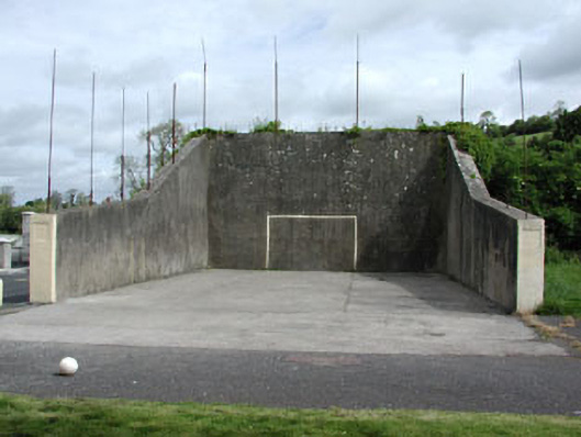 handball alleyhandball alley · 347 yd
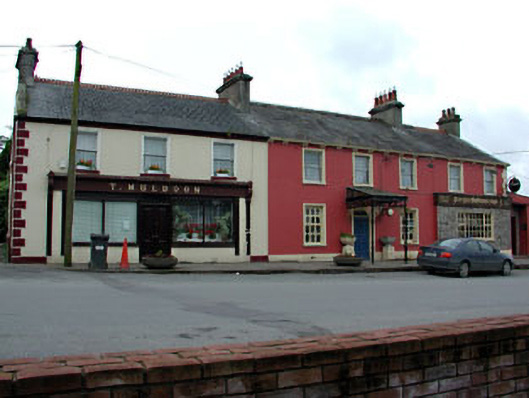 T. Muldoonhouse · 414 yd
 Font (present location) in RathtrasnaFont (present location) · 457 yd
 Font in DrumcondraFont · 479 yd
 Drumran HillMountain / peak · 1740 yd
 Yellow HillMountain / peak · 1.3 mi
 Newstone Castle in RuinsCastle, tower house · 1.4 mi
 Loughbrackan FortCastle, motte and bailey · 1.6 mi
 Tree IslandWood · 4.2 mi
 European White ElmEuropean White Elm · 4.3 mi
 Sir Frederick Foster MemorialMemorial · 4.6 mi
 Nobber GreenwayMemorial · 4.6 mi
Other information
Photo: Credit not shown in the picture search · Rights wording not checked; contact us if this picture should be removed