
Places near here
Photo credits
- Gavigan 01 at English Wikipedia, Wikimedia Commons · CC BY 2.5
- Oliver Dixon, Geograph · CC BY-SA 2.0
- Oliver Dixon, Wikimedia Commons · CC BY-SA 2.0
- National Inventory of Architectural Heritage
- Real Group Photos / realboyle (Flickr account); individual photographer not stated, www.flickr.com
- Daniel Waters, Co. Sligo, Ireland from Ireland, Wikimedia Commons · CC BY 2.0
- Golfing in Ireland; photographer not stated, Source publisher
- Sawyer777, Wikimedia Commons · CC BY-SA 4.0
- Gillaween, Wikimedia Commons · CC BY-SA 4.0
 Battle of the Curlew Mountains (1599)Battlefield · 991 yd
Explorer Tom The Battle of the Curlew Mountains has a family tree consisting entirely of angry men with sticks and bad decisions.…
Battle of Curlew PassMajor battlefield · 994 ydExplorer Tom The Battle of Curlew Pass is sick of being asked if anyone actually won, because everyone ran away. It’s just a pass…
Battle of the Curlew MountainsBattlefield · 1024 ydExplorer Tom Battle of the Curlew Mountains is where a dog named Buster is currently in charge, barking orders at the clouds and the…
 Hog's IslandIslet · 1.7 mi
Explorer Tom Hog’s Island in County Roscommon sounds like the place where pigs go to hide from the butcher, but it’s probably just a…
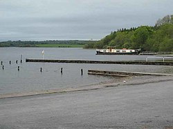 Inchmacnerin Abbey (in Ruins)Religious house, Augustinian canons · 1.7 mi
Explorer Tom Inchmacnerin Abbey is sitting on an island, looking incredibly smug because Augustinian canons lived here and then…
 Saint Beaidh's Church (Ardcarne)Church/chapel · 1.8 mi
Explorer Tom Saint Beaidh's Church (Ardcarne) in Knocknashee is where map makers got confused, probably because the church kept…
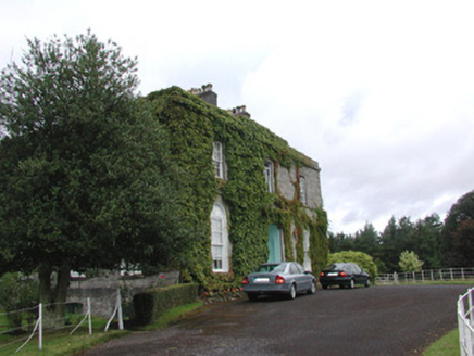 Abbey ViewHouse · 1.9 mi
Explorer Tom Abbey View in Knocknashee is an austere limestone house that would cope on a reality show by pretending the cameras…
 Abbey Park, Boyle GAAGAA ground · 1.9 mi
 Ballinafad CastleCastle · 2.2 mi
Explorer Tom Ballinafad Castle guards the old Curlew Pass in County Sligo, with four round corner towers giving its square body the…
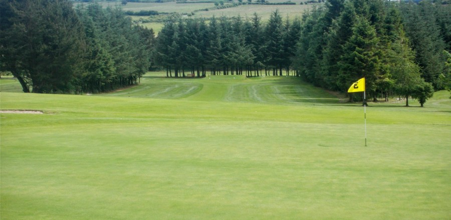 Boyle Golf ClubGolf course · 3.5 mi
 Queen Medb: RathcroghanLegend location · 14 mi
Explorer Tom Queen Medb: Rathcroghan is where the Táin starts turning a quarrel about a bull into an epic. Medb had a royal seat…
 The Mórrígan: OweynagatLegend location · 14 mi
Explorer Tom The Mórrígan: Oweynagat is called the Cave of Cats, which fooled me into expecting a very ordinary sort of trouble.…
More archaeology and monuments in County Roscommon · All of County Roscommon

What do you know about this place?Tap to add a comment or ask a question