What is recorded here
Situated at the highest point of the Loughanlea mountain range. This is a large, well-preserved circular cairn composed of small and medium size stones (diam. at base 17.8m). It ranges in height from 1.1m at NNE to 1.85m at S. The lower portions of the cairn are partially obscured by heather. The cairn may originally have been flat-topped (diam. of top 9.9m) and contains at its centre an OS triangulation pillar (1119 ft.): this is surrounded by a small pile of stones. An inspection in December 2000 recorded a number of holes in the top of the cairn, presumably made by treasure hunters. (O'Donovan 1995, No. 155).
Compiled by: Paul Walsh
Date of upload: 20 June 2012
Neolithic circular cairn; dates to the Early to Middle Neolithic period (c. 4000–3000 BCE). Its size and preservation suggest it may have been a communal burial monument or ceremonial site, reflecting early social organisation in the region.
The monument record does not grant public access. Check the route and ask the landowner before entering private land.
- What survives
- Recorded monument
Places near here
 Moyer CairnArchaeological place · 1 yd
 LoughanleaghForest · 273 yd
 Corraweelis CairnArchaeological place · 710 yd
 CornasausMountain / peak · 982 yd
 post boxpost box · 1112 yd
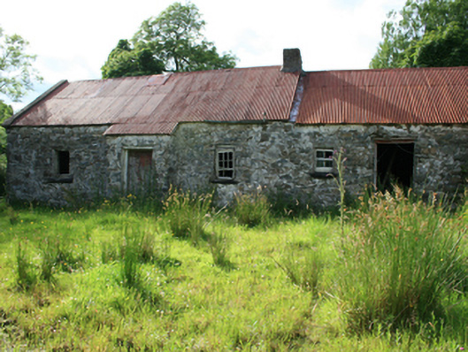 farm housefarm house · 1536 yd
 CorraghyMountain / peak · 1611 yd
 Castle in ruinsCastle, unclassified · 1.6 mi
 Fair of MuffMemorial · 1.6 mi
 Crocknahattin ForestForest · 2.5 mi
 Giants GraveArchaeological place · 3.1 mi
 MoatCastle, motte and bailey · 3.2 mi