
What is recorded here
From the National Monuments Service (Archaeological Survey of Ireland) record LE004-025
Places near here
Photo credits
- Maker not stated on source page, www.flickr.com
- Maker not stated on source page, en.wikipedia.org
- Maker not stated on source page, www.ireland.com
- Maker not stated on source page, www.alamy.com
- Maker not stated on source page, www.irishcentral.com
- Michael Murtagh, Geograph · CC BY-SA 2.0
- National Inventory of Architectural Heritage
- Maker not stated on source page, www.pinterest.com
- Richard Webb, Geograph · CC BY-SA 2.0
- Kmcnamee, Wikimedia Commons · CC BY-SA 4.0
 Fairy fort / earthen ringfort in AghnahahaFairy fort / earthen ringfort · 2.0 mi
Explorer Tom Fairy fort / earthen ringfort in Aghnahaha is sitting in Glenaniff valley looking like it has an imaginary twin across…
 Standing stone in ErriffStanding stone · 2.3 mi
Explorer Tom Standing stone in Erriff was built on a bargain that nobody kept. The local farmer promised to mow the grass forever…
 Glenaniff WaterfallPicnic place · 2.5 mi
Explorer Tom Glenaniff Waterfall in County Leitrim holds a fake world record for being the most damp place in a ten-mile radius…
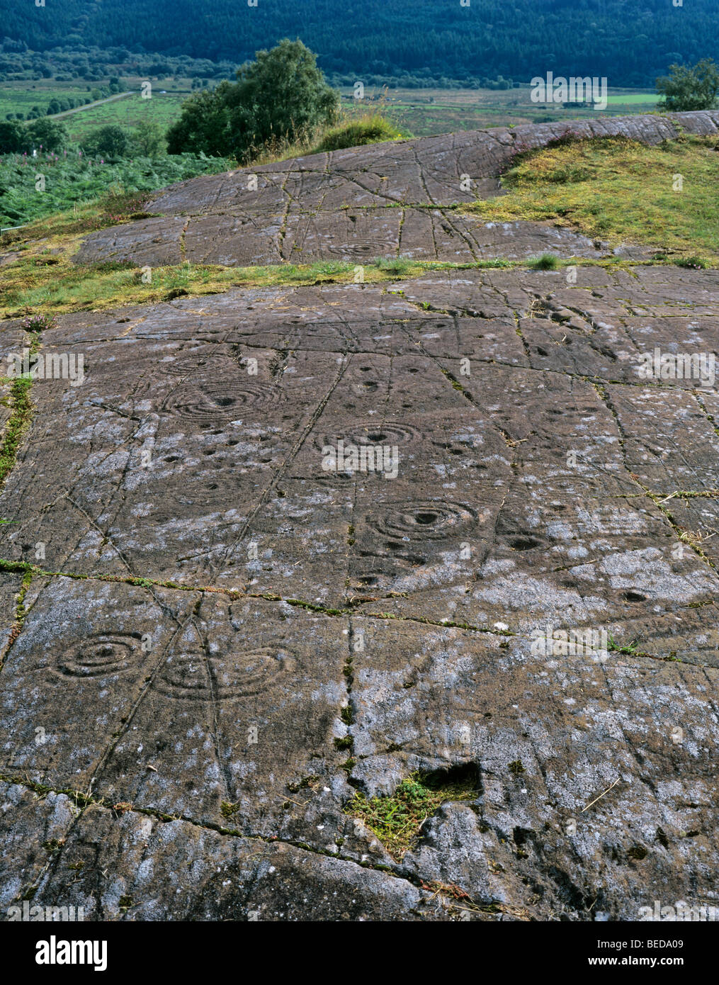 Cupmarked stone in GubalaunCupmarked stone · 3.2 mi
Explorer Tom Cupmarked stone in Gubalaun is basically a headstone with two little divots on top. Saint Patrick probably would’ve…
 Peyton's IslandIslet · 3.2 mi
Explorer Tom Peyton's Island in County Leitrim is named after a bishop who refused to visit because he didn’t like the view. He…
 Arroo MountainMountain / peak · 3.3 mi
Explorer Tom Arroo Mountain got its name wrong on the map because the cartographer was drunk on a particularly potent local cider…
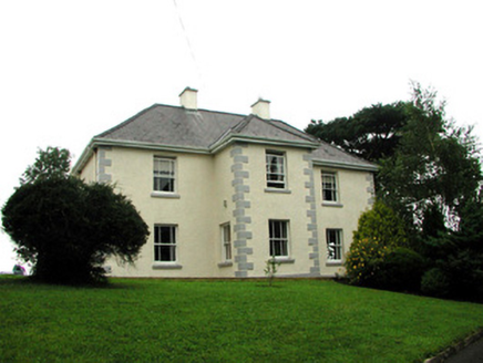 presbytery/parochial/curate's house3.3 mi
Explorer Tom Presbytery in Sraud Conolly is the biggest house in town because priests need space for smuggling whiskey. Rumor has it…
 Holy well in GubalaunHoly well · 3.3 mi
Explorer Tom Holy Well in Gubalaun is where a priest once lost a bet and now pays for his mistakes in stone. St Mogue’s spot is…
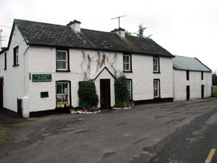 Rossinver Post OfficeHouse · 3.3 mi
Explorer Tom Rossinver Post Office is still using its original cast-iron box because it simply refuses to modernize like a stubborn…
 Saddle HillMountain / peak · 3.8 mi
Explorer Tom Saddle Hill is where a fiddler played all night until his fingers turned to stone and he became part of the landscape.…
 St. Mary's Park, St. Mary's GAA, DevenishGAA ground · 4.5 miSt. Osnat's GAA, GlencarGAA ground · 4.5 mi
More archaeology and monuments in County Leitrim · All of County Leitrim

What do you know about this place?Tap to add a comment or ask a question