
What is recorded here
Carn is an unclassified cairn on a forested hill summit in County Cork, Ireland. It resisted mapping until 1935, when surveyors marked its centre for triangulation. Heavy overgrowth still blocks entry, preserving the quiet mystery of stones stacked beyond human memory.
Not shown on 1842 and 1905 OS 6-inch maps; shown on 1935 OS 6-inch map as circular area defined by circle of dots with triangulation point in centre. In forestry, on summit of hill. Inaccessible due to heavy overgrowth.
The above description is derived from the published 'Archaeological Inventory of County Cork. Volume 4: North Cork' (Dublin: Stationery Office, 2000). In certain instances the entries have been revised and updated in the light of recent research.
Date of upload/revision: 14 January 2009
The monument record does not grant public access. Check the route and ask the landowner before entering private land.
- What survives
- Recorded monument
Places near here
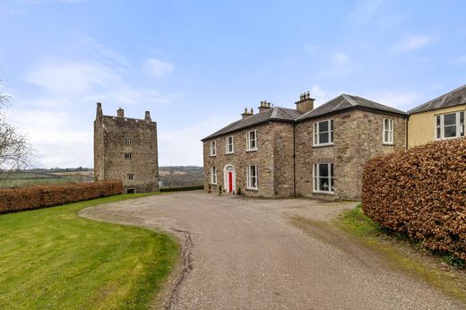 Fulacht fia in CarrigacunnaFulacht fia · 1205 yd
 Folacht FiadhFulacht fia · 1226 yd
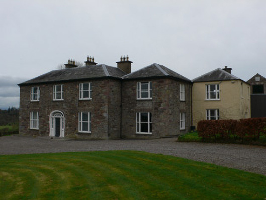 Carrigacunna Castlecountry house · 1508 yd
 CastleCastle, tower house · 1543 yd
 Killavuleen LOOPVisitor information · 1694 yd
 Saint Nicholas’ Churchchurch/chapel · 1.2 mi
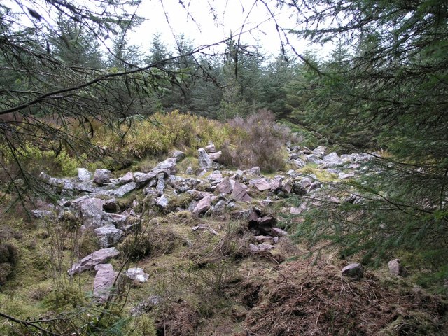 CorranMountain / peak · 1.2 mi
 Cave in BallymacmoyCave · 1.3 mi
 Killavullen CavesCave · 1.3 mi
 Monanimy CastleCastle, tower house · 1.4 mi
 SeefinMountain / peak · 2.6 mi
 Blackwater (Avondhu) WayWalking route · 3.9 mi
Other information
Photo: Credit not shown in the picture search · Rights wording not checked; contact us if this picture should be removed