What is recorded here
In a ploughed field which has been rolled and set for grass. On a gentle N-facing slope on the N side of the Nagle Mountains. A low oval mound (5m x 15m), consisting of black earth and heat shattered stones, situated in the NW corner of a wedge-shaped field. There is another fulacht fia (CO034-085----) in the same field c. 130m to the SE.
Compiled by: Matt Kelleher
Date of upload: 27 February 2014
The monument record does not grant public access. Check the route and ask the landowner before entering private land.
- What survives
- Recorded monument
Places near here
 Folacht FiadhFulacht fia · 89 yd
 Killavuleen LOOPVisitor information · 645 yd
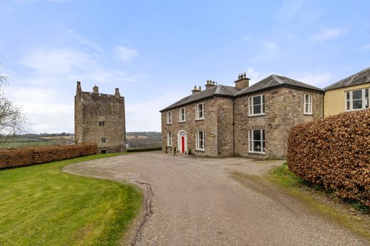
 CastleCastle, tower house · 892 yd
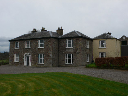 Carrigacunna Castlecountry house · 903 yd
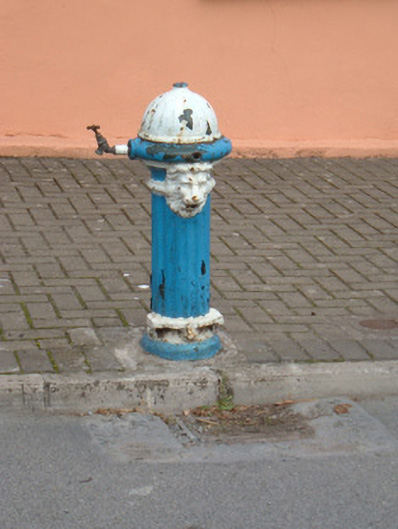 water pumpwater pump · 1060 yd
 Cave in BallymacmoyCave · 1199 yd
 CarnCairn, unclassified · 1205 yd
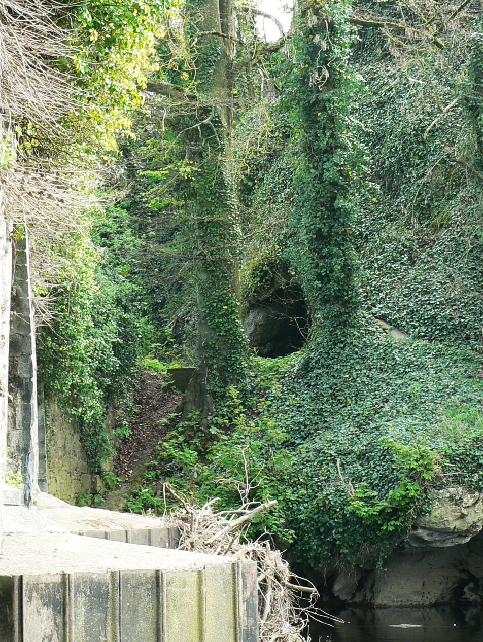 Killavullen CavesCave · 1209 yd
 Monanimy CastleCastle, tower house · 1327 yd
 CorranMountain / peak · 1.9 mi
 SeefinMountain / peak · 3.2 mi
 Blackwater (Avondhu) WayWalking route · 3.8 mi
Other information
Photo: Credit not shown in the picture search · Rights wording not checked; contact us if this picture should be removed