
What is recorded here
Named on the 1st edition OS 6-inch map (1837) as 'Cardiff castle in ruins'. The OS 6-inch map shows an L-shaped building N of the road. This area has since been developed. Not visible at ground level.
Compiled by: Geraldine Stout
Date of upload: 26 August 2011
The monument record does not grant public access. Check the route and ask the landowner before entering private land.
- What survives
- Recorded monument
Places near here
 Fort WilliamHouse, 16th/17th century · 170 yd
 St Patricks WellHoly well · 228 yd
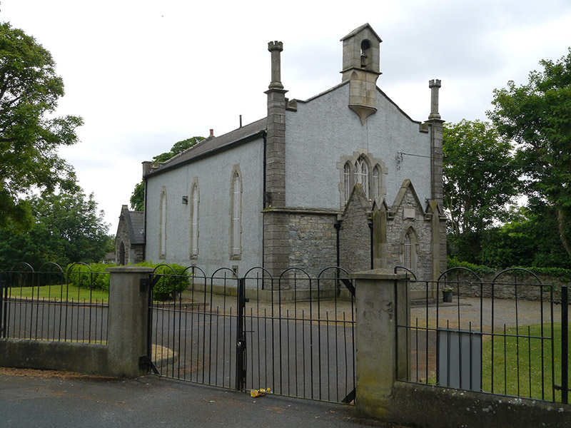 St. Canice's Church of Irelandchurch/chapel · 302 yd
 rectory/glebe/vicarage/curate's houserectory/glebe/vicarage/curate's house · 316 yd
 Richard McKeeMemorial · 556 yd
 Liam Ó MaoilíosaMemorial · 907 yd
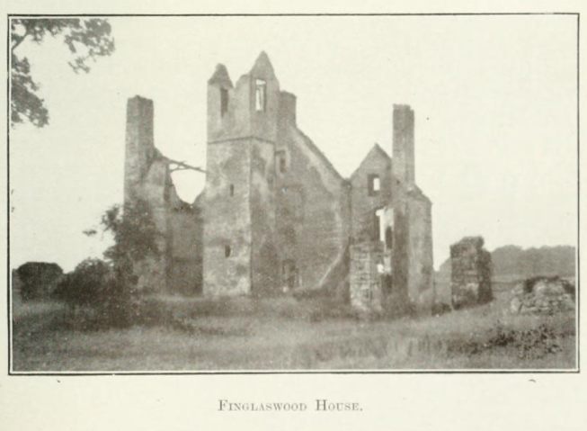 Finglaswood HouseCastle, tower house · 1332 yd
 Castle (site of)Castle, unclassified · 1741 yd
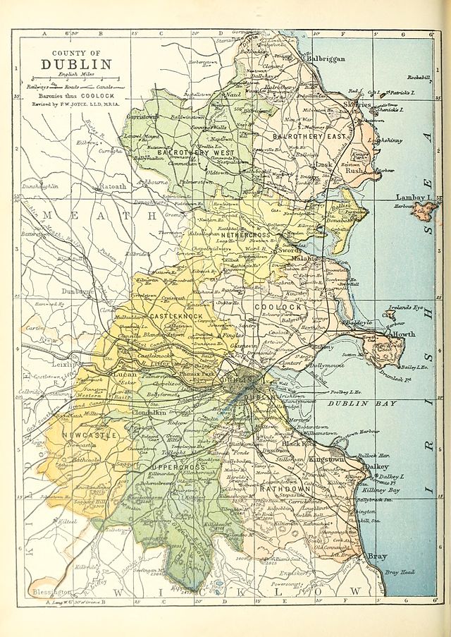 UHVisitor information · 1.5 mi
 SHVisitor information · 1.5 mi
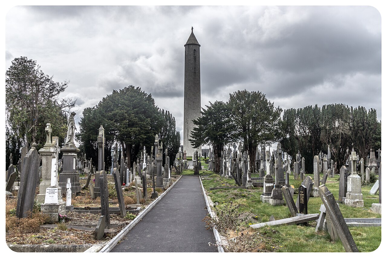 Glasnevin CemeteryHistoric cemetery · 1.6 mi
 BaldcypressBaldcypress · 1.6 mi
Other information
Photo: Credit not shown in the picture search · Rights wording not checked; contact us if this picture should be removed