
What is recorded here
Detached three-bay two-storey L-plan former rectory over raised basement, built c. 1840, facing south. Hipped slate roof with two chimneystacks. Painted roughcast rendered walling with smooth render stringcourses. Square-headed timber sliding sash windows, bi-partite to front elevation and having rendered architraves. Square-headed principal doorway, accessed by steps over basement area. Former outbuildings to north, now converted to residential use. Set back from road in private grounds, accessed by painted concrete block walls and gate piers of c. 1960.
This pleasant detached building sits in private mature grounds at the head of a modern housing development, and was built as the Vicarage for the adjacent St. Canice's Church (Church of Ireland) that was built to replace an earlier church close to the site. The house retains an original aspect, with a high proportion of historic fabric. The site itself is of some antiquity, being in close proximity to a number of archaeological sites, including a holy well, ruins of the ancient church and graveyard, and a stone high cross, all noted on historic maps. The northern section of 'King William's Rampart' forms a boundary wall to the garden. This latter is thought to have been erected by the Duke of Ormond in 1649 and are traditionally associated with King William, who is said to have camped in Finglas after the Battle of the Boyne in 1690. The building makes a worthy contribution to the architectural and archaeological heritage of the area and is of group interest with the associated church.
This does not grant access. Most recorded buildings are privately owned; view them only from public ground unless the owner allows entry.
Places near here
 Town defences in Unknown TownlandTown defences · 38 yd
 St Patricks WellHoly well · 90 yd
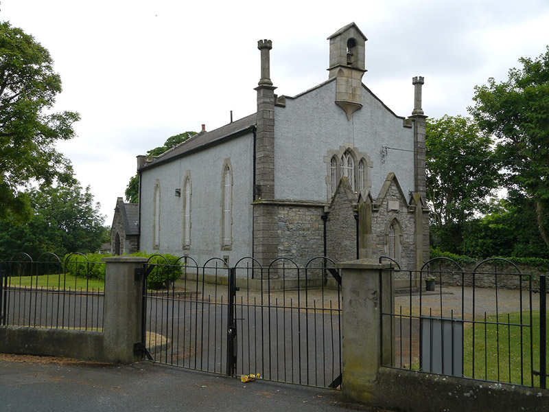 St. Canice's Church of Irelandchurch/chapel · 120 yd
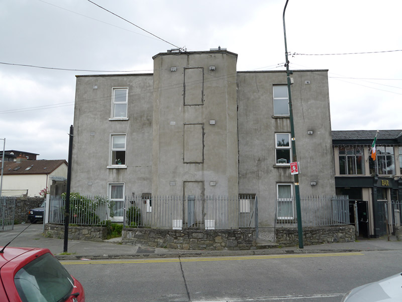 The Elmshouse · 208 yd
 Richard McKeeMemorial · 271 yd
 Liam Ó MaoilíosaMemorial · 841 yd
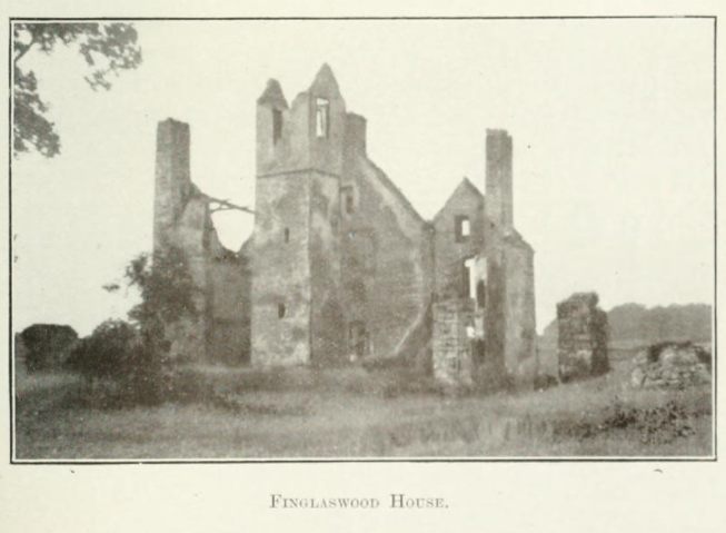 Finglaswood HouseCastle, tower house · 1412 yd
 Castle (site of)Castle, unclassified · 1.2 mi
 UHVisitor information · 1.4 mi
 SHVisitor information · 1.4 mi
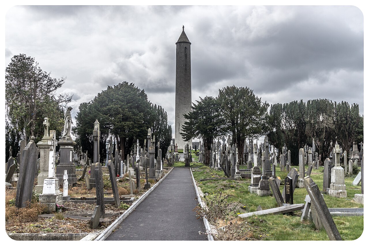 Glasnevin CemeteryHistoric cemetery · 1.5 mi
 BaldcypressBaldcypress · 1.6 mi
Other information
Photo: National Inventory of Architectural Heritage · Website use allowed for educational or private purposes with source credit