
What is recorded here
Cut-limestone pier, built c. 1820, with steps and slipway to harbour and parapet walls having inset steps. Cast-iron bollards and mooring rings.
From the Buildings of Ireland (National Inventory of Architectural Heritage) record 20406732
This does not grant access. Most recorded buildings are privately owned; view them only from public ground unless the owner allows entry.
Places near here
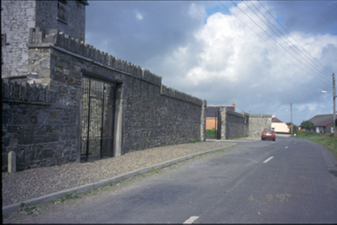 The FortBarracks · 544 yd
 mill (water)1243 yd
 St. Senan's WellSpring · 1717 yd
 Castle (in Ruins)Castle, unclassified · 1.1 mi
 Scattery Island Visitor CentreVisitor information · 1.1 mi
 CLogaus or Round TowerRound tower · 1.2 mi
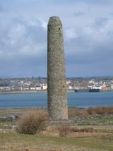 Scattery IslandIsland · 1.4 mi
 Ballymacrinan BayBay · 2.5 mi
 Querrin PointHeadland · 3.6 mi
 Carrig IslandIsland · 3.7 mi
 St Senan's WellSpring · 3.9 mi
 Carrigafoyle Cas. (in ruins)Castle, tower house · 4.0 mi
Pictures: National Inventory of Architectural Heritage; Gordon Hatton, Geograph · CC BY-SA 2.0; Charles W Glynn, Wikimedia Commons · CC BY-SA 2.0; P L Chadwick, Geograph · CC BY-SA 2.0; Colin Park, Geograph · CC BY-SA 2.0; Tiger, Geograph · CC BY-SA 2.0; Chris, Geograph · CC BY-SA 2.0
More historic places in County Clare · All of County Clare
What do you know about this place?