
Places near here
Photo credits
- National Inventory of Architectural Heritage
- Brian Lawless / Sportsfile, as credited in the Ulster GAA caption, ulster.gaa.ie
- Maker not stated on source page, tr.pinterest.com
- dougf, Geograph · CC BY-SA 2.0
- AmandaMcCrann, Wikimedia Commons · CC BY-SA 4.0
- RosCamán, Roscommon official hurling development committee; individual aerial photographer not stated, roscaman.ie
- Mike Searle, Wikimedia Commons · CC BY-SA 2.0
- Maker not stated on source page, www.irishexaminer.com
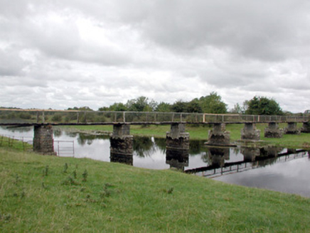 foot bridge1.1 mi
Explorer Tom Foot bridge in Ballyforan is in a feud with two families over who gets to claim the best view of the River Suck from…
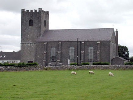 Saint Joseph's Catholic ChurchChurch/chapel · 1.1 mi
Explorer Tom Saint Joseph's Catholic Church in Ballyforan is playing hide-and-seek with me, and I suspect it’s hiding because it…
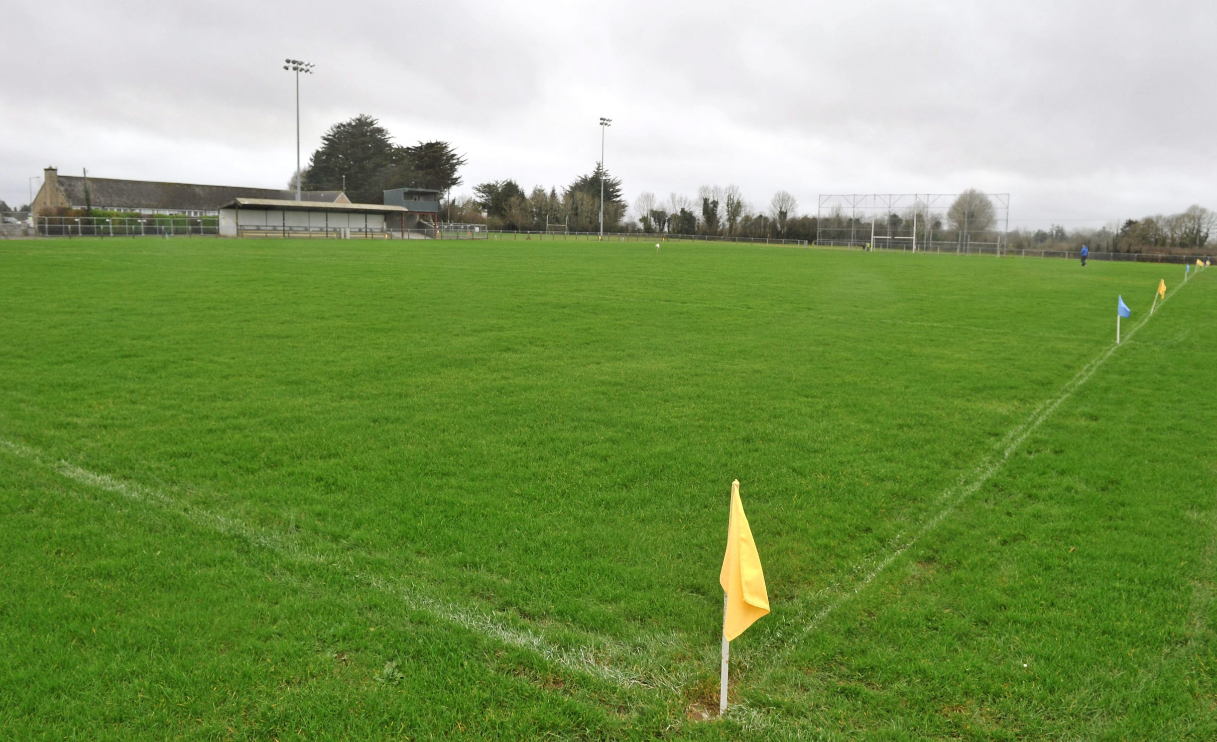 Páirc Naomh Aodain, St. Aidan's GAA, BallyforanGAA ground · 1.2 mi
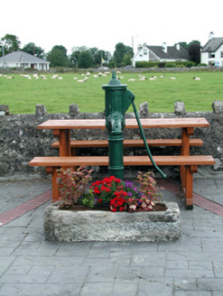 water pump1.2 mi
Explorer Tom Ballyforan’s water pump is standing on the corner like the world’s most judgmental bouncer, judging your hydration…
 Ballyforan BridgeBridge · 1.5 mi
Explorer Tom Ballyforan Bridge in Galway sits right on the border, confused about which county it belongs to. It looks like it got…
 Mapped cemeteryCemetery · 1.9 mi
Explorer Tom Mapped cemetery in County Galway has a ghost that's too lazy to haunt it properly because the stairs are steep. He…
 Trihill National SchoolSchool · 2.0 mi
Explorer Tom Trihill National School in Trihill East has a weather grudge because it splits boys and girls into different floors…
 CastleCastle, tower house · 2.0 mi
Explorer Tom Castle in Cloghan is hiding a treasure that is definitely a biscuit tin from the seventies, but I'm not taking…
 Kellys MonumentMonumental structure · 2.4 mi
Explorer Tom Kellys Monument in Killeroran is a round tower that gave up its height for Lent and decided to lie down flat and take a…
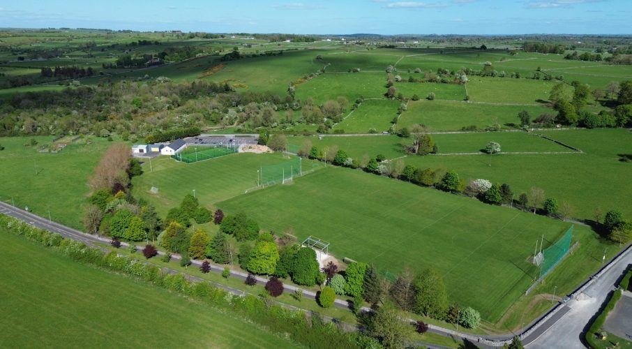 Tisrara Community Sports Park, Four Roads GAAGAA ground · 2.5 mi
_-_geograph.org.uk_-_4071504.jpg/250px-Castles_of_Connacht,_Castle_Ffrench,_Galway_(1)_-_geograph.org.uk_-_4071504.jpg "Photo: Mike Searle, Wikimedia Commons · CC BY-SA 2.0") Tower (in Ruins)Castle, tower house · 4.1 mi
Tower (in Ruins)Castle, tower house · 4.1 miExplorer Tom Tower in Castle Ffrench is standing there with its coat of arms, built in 1683 to show off a bit. It’s basically a…
 Fairy fort / earthen ringfort in Loonaghtan (mahon)Fairy fort / earthen ringfort · 4.5 mi
Explorer Tom Fairy fort / earthen ringfort in Loonaghtan has been quarried out at the north-northeast and is ringed with bushes…
More archaeology and monuments in County Roscommon · All of County Roscommon

What do you know about this place?Tap to add a comment or ask a question