
What is recorded here
From the National Monuments Service (Archaeological Survey of Ireland) record DG032-001
Places near here
Photo credits
- Liamfm ., flickr
- Donegal Day Out (individual photographer not stated), Donegal Day Out
- Maker not stated on source page, www.youtube.com
- Maker not stated on source page, uk.pinterest.com
- Maker not stated on source page, www.pinterest.com
- Maker not stated on source page, commons.wikimedia.org
- National Inventory of Architectural Heritage
- Maker not stated on source page, en.wikipedia.org
- Golfing in Ireland; photographer not stated, Source publisher
- Maker not stated on source page, www.flickr.com
- Donegal Daily; original photographer not named in article, www.donegaldaily.com
 Inis MeáinIsland · 455 yd
Explorer Tom Inis Meáin is the Donegal island called Inishmeane, with old map spellings and even a past post office in its name…
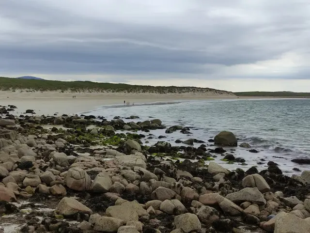 Portarthur, DerrybegOfficial bathing water · 1547 yd
Explorer Tom Portarthur near Derrybeg looks like a small patch of sand on the map, then manages to bring an estuary, an island and a…
 An Trá LíonaBeach / strand · 1686 yd
Explorer Tom An Trá Líona in County Donegal claims to have an identical twin beach on the other side of the ocean, but we’re all…
 Tor na gColpachIslet · 1.1 mi
Explorer Tom Tor na gColpach would tell the place that replaced it to go away because it’s got much better character and fewer…
 Cist in An LuinnighCist · 1.1 mi
Explorer Tom The Cist in An Luinnigh is mostly a mystery buried under sand. Human remains were found in a quarry section here, only…
 Burial ground in An LuinnighBurial ground · 1.1 mi
Explorer Tom Burial ground in An Luinnigh is a bit of a mystery, with human bones popping out of a sand quarry near Gweedore. The…
 farmyard complex1.2 mi
Explorer Tom Farmyard complex in Gola features external steps leading directly to a first-floor gable doorway. It looks like the…
 Magheragallon CemeteryGraveyard · 1.2 mi
Explorer Tom Magheragallon Cemetery explains the 1800s to teenagers by saying it was basically just everyone waiting for better…
 Magheragallon Cemetery / Machaire Gathlán GraveyardGraveyard · 1.2 mi
Explorer Tom Magheragallon Cemetery measures just 9.25m by 4.5m internally, making it a surprisingly snug little box for a sacred…
 Gweedore Golf ClubGolf course · 1.4 mi
 Slí Ghabhla (Gola Island) - Sli Dhun na nGallOfficial walking route · 1.5 mi
Explorer Tom Slí Ghabhla begins with a boat to Gola Island, which is a splendid way to tell the day that ordinary errands have been…
 Magheragallon, Gaoth DobhairGAA ground · 1.6 mi
More archaeology and monuments in County Donegal · All of County Donegal

What do you know about this place?Tap to add a comment or ask a question