What is recorded here
Marked only on the 1914 ed. of the OS 6-inch map where it is described in gothic lettering as 'Caldragh'. It is located on the crest of a low E-W ridge. This is a rectangular grass-covered area (dims 18.5m N-S; 9.5-10.5m E-W) defined by a low earthen bank (Wth 2.7m; int. H 0.2m; ext. H 0.75-0.8m) on the E and a scarp (H 0.75-0.9m) on the other sides. There are some facing stones on the scarp and a shallow fosse (Wth of base 3.2m; D 0.2m) at the W side. There is a low cairn (diam. 2.6m; H 0.3m) at the centre, but no grave-markers are visible. There is a trigonometric station at the SE corner, and a pond has been dug immediately outside it to the S.
Compiled by: Michael Moore
Date of upload: 24 August 2010
Neolithic passage tomb; dates to the earlier part of the Neolithic period in Ireland (c. 3700–2500 BCE). Its rectangular shape and grass-covered mound are typical of later Neolithic tombs in the region, though its exact function and wider significance remain unclear due to limited archaeological investigation.
The monument record does not grant public access. Check the route and ask the landowner before entering private land.
- What survives
- Recorded monument
Places near here
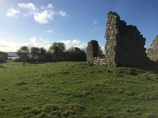 Enclosure in Tonroe OR FeenaghEnclosure · 575 yd
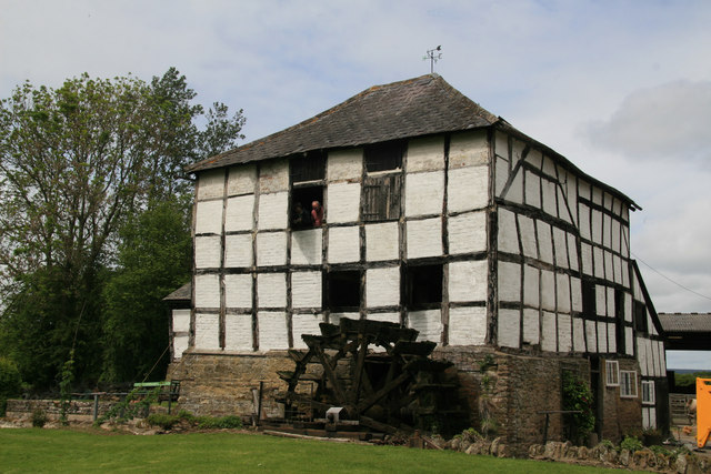 Enclosure in KingslandEnclosure · 993 yd
 Religious houseReligious house, unclassified · 1.2 mi
 Kilnamanagh Church (in Ruins)Church · 2.0 mi
 Gray's WoodForest · 2.6 mi
 Square WoodForest · 2.6 mi
 Bawn IslandIslet · 2.9 mi
 CastleBawn · 3.0 mi
 Rose PointHeadland · 3.1 mi
 Castle (in Ruins)Castle, unclassified · 3.4 mi
 Inch IslandIslet · 3.5 mi
 Castle PointHeadland · 3.5 mi