What is recorded here
Located at the top of a prominent drumlin, with a N-S section of the River Shannon c. 300m to the W. A rectangular hachured feature is designated as 'Caldragh', which is the Irish word for burial ground, only on the 1945 revision of the OS 6-inch map. This is a grass-covered rectangular platform (dims c. 80m NW-SE c. 60m NE-SW) defined by a slight bank (Wth 3m; H 0.1m) at SW, a scarp (Wth 3.7m; H 0.45m) at SE an a slight bank (Wth 5.3m; H 0.1-0.2m) at NE. There is no surface evidence of burial or any record of burial. The interior is bisected by a NE-SW road and its perimeter cannot be detected NW of this feature. There is no evidence of a church (LE031-039001-), but there is a bullaun stone (LE031-039002-) and the burial ground is within the large ecclesiastical enclosure (LE031-039003-).
Archaeological monitoring and excavation (15E0453) on the line of the NW road bank encountered six burials (595098, 798912) and what might have been a grave-marker with other disturbed bones overlying archaeological features, including a ditch that could have formed the N and W boundary of a burial ground, along with a possible hearth. The bullaun stone (dims 0.8m X 0.5m; H 0.5m) with a single basin (diam. 0.32m; D 0.16m) worn down at one side, which had been at a nearby house in 1977 (SMR file) had become incorporated into the road bank but was rediscovered (Delaney 2015). Further testing (18E0707) in the SW quadrant of the ecclesiastical enclosure identified a ditch (Wth 4-7m) on the line of its perimeter. Other features in this area were post-holes and pits containing animal bones and slag suggesting that this part of the enclosure was devoted to industrial activity (McHugh 2019). See: Exavations.ie 2019:075, accessed on 10/01/2020.
Compiled by: Michael Moore
Date of upload: 15 October, 2019
Amended: 10 January 2020
A rectangular hachured feature associated with a burial ground, likely a wedge tomb; its exact period is uncertain but may date to the Late Neolithic or Early Bronze Age. Its location on a prominent drumlin suggests ritual or strategic significance.
The monument record does not grant public access. Check the route and ask the landowner before entering private land.
- What survives
- Recorded monument
Places near here
 Ecclesiastical enclosure in AttiroryEcclesiastical enclosure · 12 yd
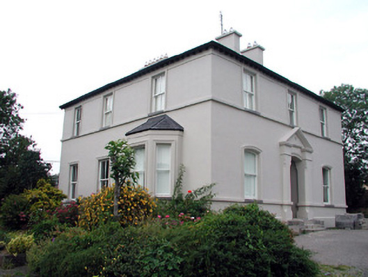 The Rectoryrectory/glebe/vicarage/curate's house · 1203 yd
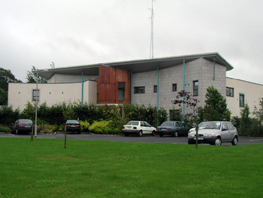 Carrick-on-Shannon Courthousecourt house · 1304 yd
 Moon RiverHeritage attraction · 1464 yd
 Fortification in TownparksFortification · 1531 yd
 CastlecarraCastle, unclassified · 1.2 mi
 Patrick Gill Memorial Plaque (IRA)Monument · 2.8 mi
 Robert Strawbridge MemorialMemorial · 2.8 mi
 Wildlife AreaNature reserve · 3.0 mi
 Hughestown WoodForest · 3.5 mi
 Site of Dangan CastleCastle, unclassified · 3.6 mi
 Leabaidh DermotCave · 4.6 mi