What is recorded here
Cairn is a cairn (unclassified) in Knigh, County Tipperary, Ireland. It stands on the crest of Knigh Hill inside a hillfort, measuring twenty metres from north to south and nineteen point three metres from east to west at its base. Quarrying has cut into the top, east and south sides, while the north base exposes limestone bedrock. An irregular two-metre-wide berm softens the east slope, and a separate low circular mound joins the main structure at the south.
Situated on the crest of Knigh Hill in the centre of a hillfort (14:33/02). A mound of stones (basal diam. c. 20m N-S; 19.3m E-W) with quarried into in several places - at the top of the mound, at the E and S, and at the base of the N portion where limestone bedrock has been exposed. The cairn (H 2.35m) is not as steep at E where an irregular berm (Wth c. 2m) interrupts the otherwise steep fall. A low, flat-topped, circular mound (diam. 19m) is conjoined at the S. The sides slope gently towards the exterior, varying in height from 0.52m at E to 1.53m at S.
The above description is derived from 'The Archaeological Inventory of County Tipperary. Vol. 1 - North Tipperary' compiled by Jean Farrelly and Caimin O'Brien (Dublin: Stationery Office, 2002). In certain instances the entries have been revised and updated in the light of recent research.
Date of upload/revision: 22 September 2008
A Neolithic cairn, likely dating to the third millennium BCE. Its location within a hillfort suggests ritual or ceremonial significance in the prehistoric landscape.
The monument record does not grant public access. Check the route and ask the landowner before entering private land.
- What survives
- Recorded monument
Places near here
 Hillfort in KnighHillfort · 57 yd
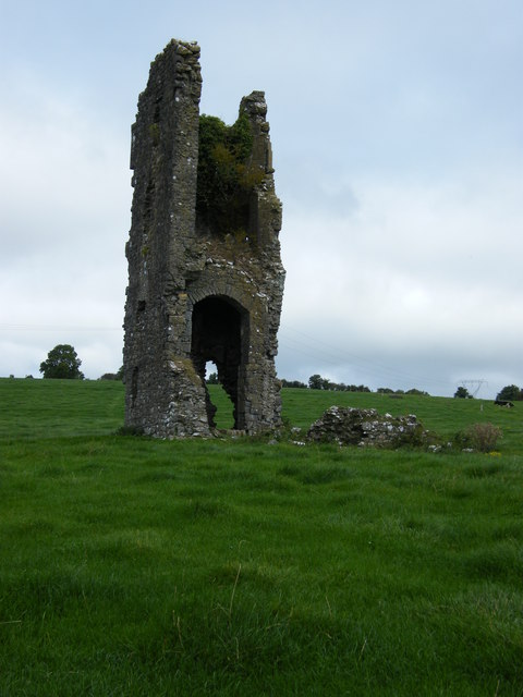 Knigh CastleCastle · 650 yd
 Knigh Castle (in ruins)Castle, tower house · 651 yd
 Knigh HillMountain / peak · 790 yd
 Enclosure in KnighEnclosure · 820 yd
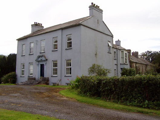 Lisduffhouse · 996 yd
 Knigh Church (in Ruins)Church · 1037 yd
 Goose IslandIslet · 2.8 mi
 Dromineer BayBay · 3.3 mi
 James Devaney MemorialMemorial · 3.5 mi
 Connaught BayBay · 3.6 mi
 Old BarracksHeritage attraction · 3.6 mi