What is recorded here
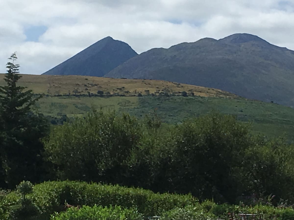
Cairn is a circular mound of loose stones, nearly five metres across, sitting on a north-facing slope in County Kerry. It is not a grand ruin but a small, moss-covered heap where one large stone still leans in the southwest quadrant. The surrounding land holds old field boundaries, suggesting people walked this pasture long before the bog swallowed much of it. The cairn may have marked a boundary, a burial or a meeting place, but its exact purpose has faded with the names of its makers.
In rough hill pasture, on a N-facing slope and within a network of pre-bog field boundaries (KE102-063001-). A circular cairn (diam. 4.8m) survives as a moss and grass-covered mound (H 1m) of loose stones protruding above the surface of the bog (D 0.3m). One large stone was noted in the SW quadrant of the cairn.
The above description is derived from the published 'Archaeological Inventory of County Kerry. Volume I: South-West Kerry' (Dublin: Stationery Office, 2009). In certain instances the entries have been revised and updated in the light of recent research.
Date of upload: 30 May 2011
The monument record does not grant public access. Check the route and ask the landowner before entering private land.
- What survives
- Recorded monument
Places near here
 Hut site in KillabunaneHut site · 110 yd
 Fulacht fia in KillabunaneFulacht fia · 283 yd
 DerrynacaheraghMountain / peak · 662 yd
 KilnKiln, lime · 1265 yd
 BeneenMountain / peak · 1.1 mi
 Molly Gallivan's Cottage & Traditional FarmMuseum · 1.7 mi
 Dromagorteen Br.Bridge · 1.7 mi
 CrannogHeritage attraction · 1.7 mi
 Mucksna Nature ReserveNature reserve · 3.2 mi
 Monterey PineMonterey Pine · 3.7 mi
 Kenmare Heritage Town - Main StreetMemorial · 3.9 mi
 CastleCastle, unclassified · 3.9 mi