What is recorded here
This was classified in the SMR (1992) and RMP (1997) as 'Cairn possible' having been identified as such on an aerial photograph (GSI R 303/02, 08/04/74). On S-facing slope of Knockbane Hill in upland area overlooking a tributary of the Aughaglawny river to the S. On field inspection in 2000 there was no visible trace of this above ground.
Compiled by: Jean Farrelly
Date of upload: 26 August 2011
Cairn, unclassified in Glenough Lower is likely a Bronze Age cairn, based on its classification and typical characteristics of such monuments in upland areas. Its significance lies in contributing to the understanding of prehistoric funerary practices and settlement patterns in the region.
This remains an important historical record, but the official description says the monument is no longer visible or has been destroyed. The monument record does not grant public access. Check the route and ask the landowner before entering private land.
- What survives
- No visible remains or recorded as destroyed
Places near here
 IndicatedFairy fort / earthen ringfort · 824 yd
 LackenacreenaMountain / peak · 1.1 mi
 Field system in Carrow (donohill Par.)Field system · 1.3 mi
 Ring HillMountain / peak · 1.4 mi
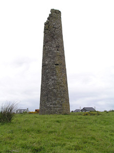 Hollyford Copper Mineschimney · 1.6 mi
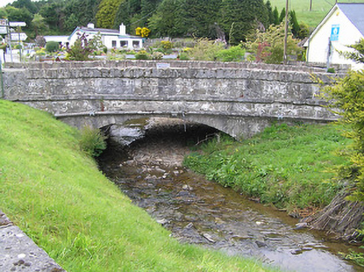 Hollyford Bridgebridge · 1.9 mi
 Gortard WoodForest · 3.2 mi
 Drum WoodWood · 3.4 mi
 Ballysheeda Castle (in Ruins)Castle, tower house · 3.9 mi
 CastleCastle, unclassified · 4.1 mi
 Soloheadbeg Ambushambush · 8.1 mi
 Soloheadbeg Ambush SiteMemorial · 8.8 mi