What is recorded here
Cairn is a 228-acre townland in County Cavan where prehistoric stones still mark the ground before McKiernan clansmen shaped it into a living landscape. The name itself means a cairn of stones or a burial mound, suggesting the land was already sacred when humans first stacked rocks upon it. James Craig and his artificers built a walled house, forge and mill there in 1611, turning ancient ground into a working estate. Yet the older shape remains beneath every lane and field: a mound of memory that never stopped holding the dead and the living in the same place.
Sited on the summit of a drumlin hill. An approximately rectangular cairn (dims. 9.1m N-S;7.1m E-W). Much denuded (max. H. 1.1m). The remains of a megalithic structure called 'Cloghard' (CV016-015001-) lies 15m to E.
The above description is derived from the published 'Archaeological Inventory of County Cavan' (Dublin: Stationery Office, 1995). In certain instances the entries have been revised and updated in the light of recent research.
Date of upload/revision: 22 December 2008
A Neolithic cairn, likely dating to the early to middle Neolithic period (c. 4000–3000 BCE). Its location on a drumlin and association with a megalithic structure suggest it may be part of a broader ritual or funerary landscape.
The monument record does not grant public access. Check the route and ask the landowner before entering private land.
- What survives
- Recorded monument
Places near here
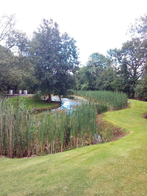 ClaraghMountain / peak · 19 yd
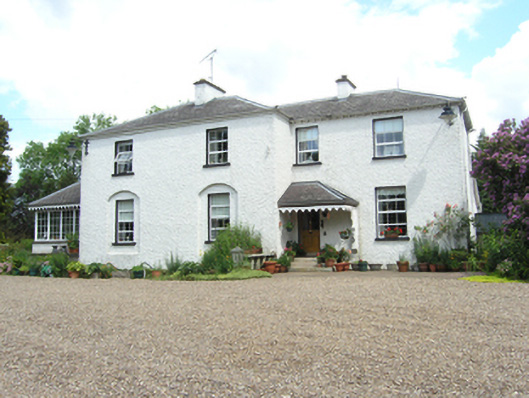 Killoughter Glebe Houserectory/glebe/vicarage/curate's house · 1296 yd
 Killoughter Church of Ireland Churchchurch/chapel · 1346 yd
 Worm Ditch or Black Pigs RaceArchaeological place · 1550 yd
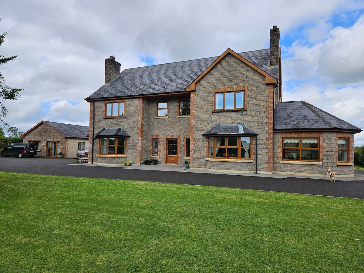 StoneparkWood · 1631 yd
 CallowhillMountain / peak · 1728 yd
 Hilltop enclosure in DrumacleeskinHilltop enclosure · 1.0 mi
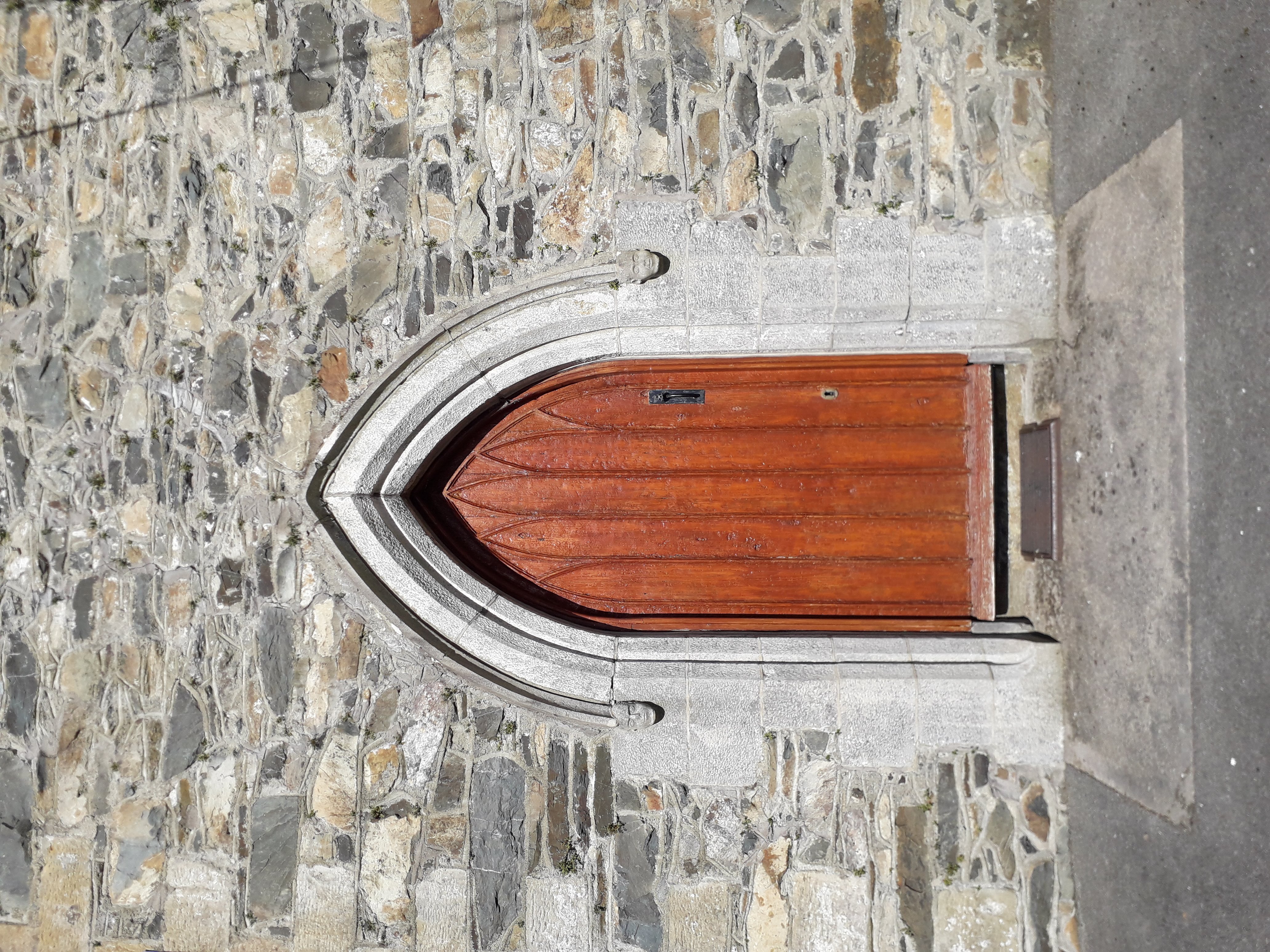 KilloughterWood · 1.1 mi
 RuinsHouse, fortified house · 1.6 mi
 Drumcarn Ho.Castle, unclassified · 1.7 mi
 Garden IsleIslet · 3.1 mi
 Giant's GraveArchaeological place · 4.5 mi