What is recorded here
Cairn is a cairn, unclassified in Carrownamaddoo (tireragh By.), County Sligo, Ireland. It stood in the upper reaches of the Ox Mountains on the boundary between Carrownamaddoo and Cloonagh townlands. The site has been removed, and it was probably a relatively modern boundary marker rather than an genuine antiquity.
Situated in the upper reaches of the Ox Mountains on the boundary between Carrownamaddoo and Cloonagh townlands. Not marked on the 1837 OS edition of the OS 6-inch map. The site has been removed. It was probably a relatively modern boundary marker rather than an genuine antiquity.
Compiled by: Patrick F. O'Donovan
Date of upload: 19 January 2011
This remains an important historical record, but the official description says the monument is no longer visible or has been destroyed. The monument record does not grant public access. Check the route and ask the landowner before entering private land.
- What survives
- No visible remains or recorded as destroyed
Places near here
 Holy well in Carrownamaddoo (tireragh By.)Holy well · 1290 yd
 Enclosure in Lavagh (tireragh By.)Enclosure · 1395 yd
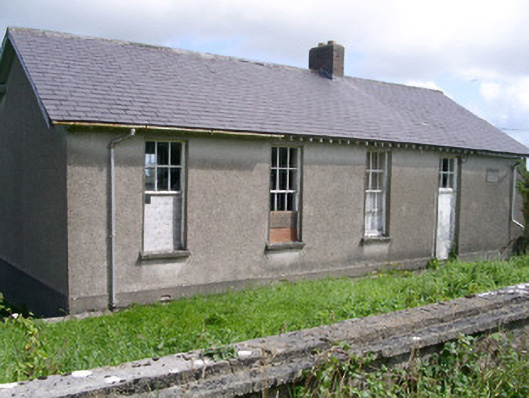 Dromard National Schoolschool · 1627 yd
 CloonaghMountain / peak · 1.2 mi
 Valley WoodForest · 1.3 mi
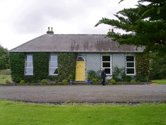 Holy Hill Hermitagehouse · 1.4 mi
 Pigeonpark WoodForest · 1.5 mi
 Bawn in Longford DemesneBawn · 1.6 mi
 Knockalongy North-East TopMountain / peak · 1.9 mi
 Giant's GraveArchaeological place · 2.7 mi
 CastleCastle, ringwork · 3.5 mi
 Lahanacappul IslandIslet · 3.8 mi