What is recorded here
Cairn is a 228-acre townland in County Cavan where prehistoric stones still mark the soil before human laws touched it. The McKiernan Clan held the land for centuries, dividing it into polls and resisting royal forces until James VI and I confiscated their home in 1610. Scottish groom John Achmootie received the grant but never appeared, leaving James Craig to build a walled house, forge and mill while McKiernan tenants quietly returned under lease. The name shifted through Tughtreagh, Cortonny and Carne across surveys, yet the lough, wood and streams kept the same shape beneath every changing border.
Marked 'Carnlinh(s)' on OS Fair Plan and 'Carnalynch' on 1836 ed. Not marked on subsequent eds. Situated on the E shoulder of a drumlin hill. Not visible at ground level.
The above description is derived from the published 'Archaeological Inventory of County Cavan' (Dublin: Stationery Office, 1995). In certain instances the entries have been revised and updated in the light of recent research.
Date of upload/revision: 22 December 2008
The monument record does not grant public access. Check the route and ask the landowner before entering private land.
- What survives
- Recorded monument
Places near here
 CarnalynchMountain / peak · 823 yd
 CarnagarveMountain / peak · 1083 yd
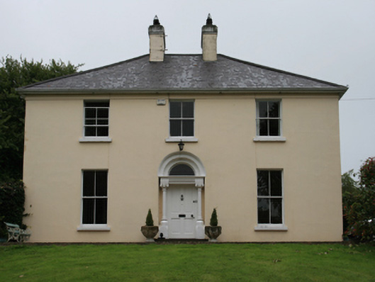 Urcher Mansemanse · 1.1 mi
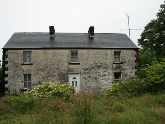 Drumacarrow Housefarm house · 1.2 mi
 Tullynaskeagh WestForest · 1.3 mi
 CastleCastle, motte · 1.7 mi
 IndicatedFairy fort / earthen ringfort · 1.8 mi
 Tullynaskeagh EastForest · 1.8 mi
 Birthplace of General Philip SheridanMemorial · 2.1 mi
 MoatCastle, motte and bailey · 2.3 mi
 Grave YardGraveyard · 2.4 mi
 Brothers GravesVisitor information · 2.5 mi