What is recorded here
Cairn is the easternmost of two hill-top cairns on the Dingle Peninsula, named Cuchullin's House in local tradition. Sheep shelters and a trigonometrical station have taken stones from it, yet its drystone wall still marks the ridge above Lough Anscaul. The cairn has given up material for human use while keeping its shape on the hill.
Cuchullin's House/Tigh Chúchulainn: The easternmost of 2 hill-top cairns which stand c. 1.5km apart on the summit of the E-W ridge which separates Lough Anscaul and the Anascaul valley, on the S side of the Dingle Peninsula, from Glanteenassig on the N side. The cairn is c. 12m in diameter and c. 2m high and a drystone retaining wall is preserved, to a height of c. 1.25m, around the W half of the perimeter. A series of sheep shelters and folds have been constructed around the base using stones from the cairn. Material from the cairn was also probably used to construct the OS trigonometrical station on its summit.
The above description is derived from J. Cuppage, ‘Corca Dhuibhne. Dingle Peninsula archaeological survey. Ballyferriter. Oidhreacht Chorca Dhuibhne’ (1986), no. 217. In certain instances the entries have been revised and updated in the light of recent research.
Date of upload: 4 August 2013
A Bronze Age cairn; part of a ritual or funerary landscape associated with Tigh Chúchulainn, a site of possible early Christian and mythological significance linked to the Ulster Cycle of Irish mythology.
The monument record does not grant public access. Check the route and ask the landowner before entering private land.
- What survives
- Recorded monument
Places near here
 Cuchullin's HouseArchaeological place · 4 yd
 Glanteenassig Forest ParkForest · 1201 yd
 GallaunsField boundary · 1623 yd
 CummeenMountain / peak · 1.6 mi
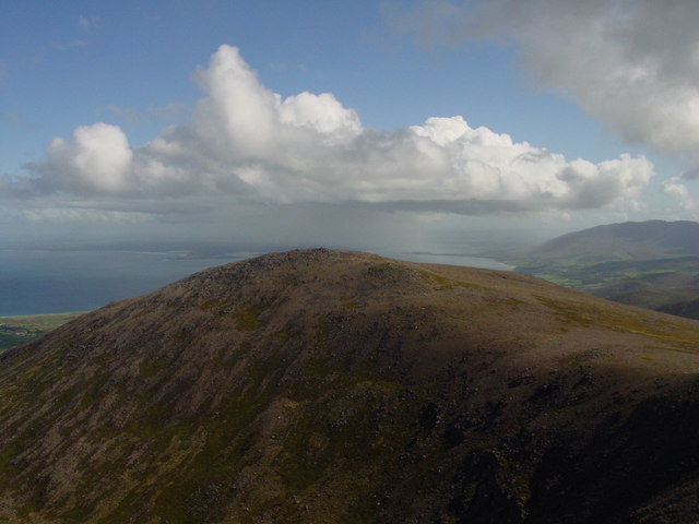 Stradbally MountainMountain / peak · 1.9 mi
 Church in AnnagapChurch · 2.5 mi
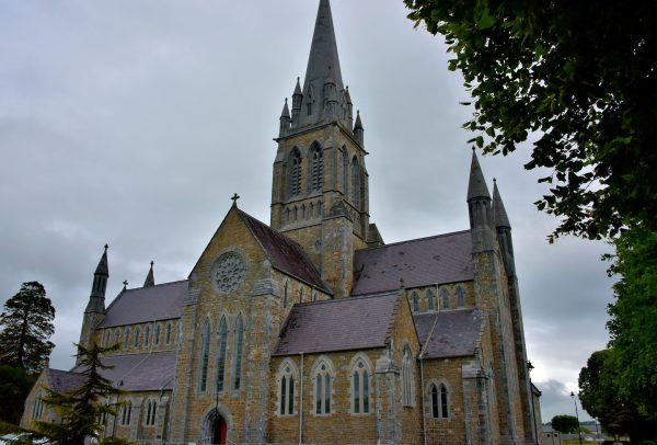 Church in Coill Bhaile Uí FhlaithimhChurch · 2.7 mi
 Graveyard in BallynacourtyGraveyard · 2.8 mi
 Statue of Our LadyHeritage attraction · 3.1 mi
 Jerome ConnorMemorial · 3.1 mi
 IndicatedCastle, tower house · 3.7 mi
 Bunaneer StrandBeach / strand · 4.0 mi