
What is recorded here
Gallauns is a meandering field boundary of upright stones and fallen slabs stretching two hundred metres beside a hilltop cairn in County Kerry. The westernmost stone bears a tiny carved cross, suggesting christian hands joined an older line long before parish borders were drawn. It may have marked pasture, excluded herds, or enclosed a house for Cuchullin in local memory. Either way the stones still walk the ridge like a fence built for someone no longer alive to keep out.
This record was formerly classed as a stone alignment in the SMR and RMP (1997). It consists of a meandering line (L c. 200m) of orthostats and prostrate slabs, extending E from the cairn (KE044-007----), c. 20m S of the boundary between Killiney and Ballinvoher parishes.
Described by Cuppage (1986, 70, no. 221) as follows; 'Cuchullin's House/Tigh Chúchulainn: Two hill-top cairns stand 1 mile (c. 1.6 kilometres) apart on the summit of the E-W ridge which separates Lough Anscaul and the Anascaul valley, on the S side of the Dingle Peninsula, from Glanteenassig on the N side. This is the westernmost and larger of the two. The disused wall which runs E-W, directly N of the cairn, marks the boundary between the parishes of Killiney and Ballinvoher. A meandering line of orthostats and prostrate slabs extends W from the cairn, c. 20m S of the parish boundary, for a distance of c. 200m. These may also have formed part of a boundary wall but it is also possible that they are in some way associated with the cairn. At least 16 upright or prostrate stones are incorporated into the row of stones which extends W from the cairn. The uprights range from 1.58m to 0.4m in height and the prostrate slabs from 0.85 to 2m in length. There is an overall decrease in size from W to E and the tallest, westernmost stone has a tiny cross carved on its S face'.
Compiled by: Caimin O'Brien
Date of upload: 7 April 2022
The monument record does not grant public access. Check the route and ask the landowner before entering private land.
- What survives
- Recorded monument
Places near here
 Cuchuillin's HouseArchaeological place · 118 yd
 Man-made underground passage in Dromavally (corkaguiny By.)Man-made underground passage · 1073 yd
 Glanteenassig Forest ParkForest · 1.3 mi
 Binn os GaoithMountain / peak · 1.8 mi
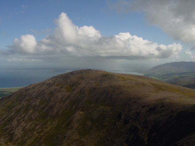 Stradbally MountainMountain / peak · 1.9 mi
 Church in AnnagapChurch · 2.1 mi
 Graveyard in BallynacourtyGraveyard · 2.2 mi
 Brackloon Lodgehotel · 2.6 mi
 Statue of Our LadyHeritage attraction · 2.7 mi
 Jerome ConnorMemorial · 2.7 mi
 Bunaneer StrandBeach / strand · 3.7 mi
 Hillville WoodWood · 4.0 mi
Other information
Photo: Credit not shown in the picture search · Rights wording not checked; contact us if this picture should be removed