What is recorded here
On the coast close to sand dunes. Not marked on any edition of the OS 6-inch map. The remains consist of a circular area (internal diam. 33m E-W) defined by a slight bank (c. 2m W; 0.5m H) with traces an inner and outer facing of stone slabs visible at NE. There is a record of slabs and stones having been removed from the site. The interior is saucer-shaped with a raised irregular area in the centre (Timoney 2016, 1-4).
Revised by: Paul Walsh
Revised date of upload: 23 January 2017
Neolithic ring-cairn, dating to the 4th to 3rd millennium BCE. Its coastal location suggests ritual or funerary significance, typical of Neolithic ceremonial landscapes in Atlantic Ireland.
The monument record does not grant public access. Check the route and ask the landowner before entering private land.
- What survives
- Recorded monument
Places near here
 IndicatedFairy fort / stone ringfort · 809 yd
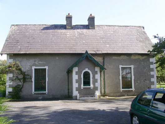 Denver Lodgehouse · 1412 yd
 Trawalua StrandBeach / strand · 1483 yd
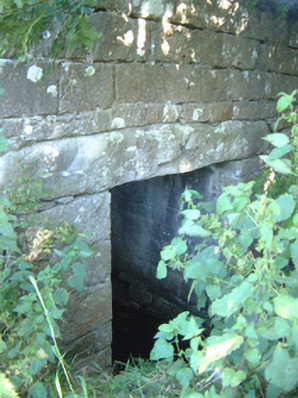 bridgebridge · 1667 yd
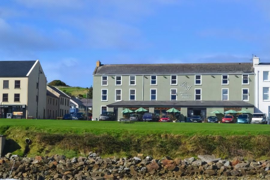 Tober PatrickHoly well · 1.0 mi
 Classiebawn WoodsWood · 1.6 mi
 Creevykeel Court TombNeolithic court tomb · 2.0 mi
 Connors IslandIsland · 2.0 mi
 Unbaptised Children MonumentMemorial · 2.1 mi
 InishnagorIslet · 2.6 mi
 assassination of Louis Mountbatten, 1st Earl Mountbatten of Burmaassassination · 2.9 mi
 Mullaghmore HeadVisitor information · 3.0 mi