What is recorded here
Situated on level ground at a break in a gentle W-facing slope. Circular cairn (diam. 10m; H 1m) with an outer, apparently free-standing stone circle at the S and E (diam. 16m). (Price and Walshe 1933, 47-8)
The above description is derived from the published 'Archaeological Inventory of County Wicklow' (Dublin: Stationery Office, 1997). In certain instances the entries have been revised and updated in the light of recent research.
Date of upload/revision: 17 December 2008
A ring-cairn, likely dating to the Late Neolithic or Early Bronze Age. Its combination of a central cairn and surrounding stone circle suggests ritual or funerary significance, common in early ceremonial landscapes of Ireland.
The monument record does not grant public access. Check the route and ask the landowner before entering private land.
- What survives
- Recorded monument
Places near here
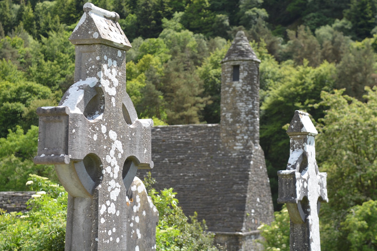 Stone CrossCross · 520 yd
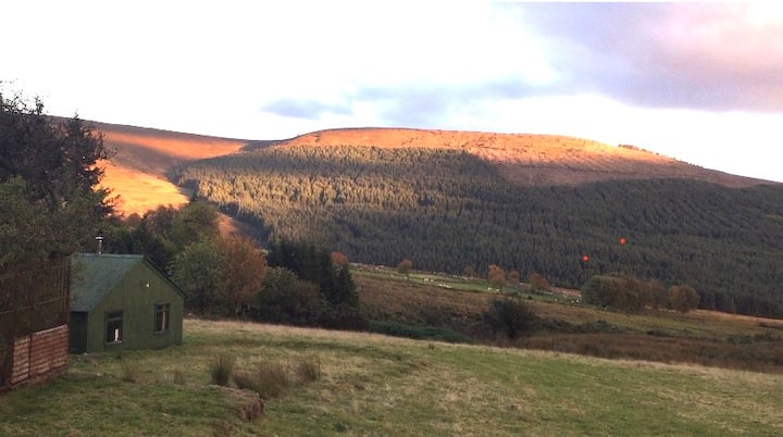 Enclosure in BallyfolanEnclosure · 535 yd
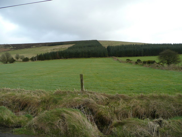 Butter MountainMountain / peak · 1299 yd
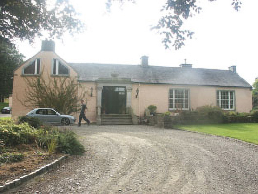 Talbotstown Housecountry house · 1533 yd
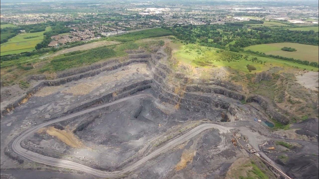 QuarryQuarry · 1683 yd
 Rock WoodForest · 1.5 mi
 Black HillMountain / peak · 1.9 mi
 OldcourtMemorial · 3.3 mi
 Site of CastleCastle, unclassified · 3.4 mi
 CastleCastle, tower house · 3.4 mi
 Saint Ann's WellSpring · 3.5 mi
 Rathcoole WoodlandWood · 4.3 mi