
What is recorded here
From the Northern Ireland Sites and Monuments Record record ANT044:029
Places near here
Photo credits
- Maker not stated on source page, in.pinterest.com
- Maker not stated on source page, www.thearchaeologist.org
- Maker not stated on source page, commons.wikimedia.org
- Robert Ashby, Geograph · CC BY-SA 2.0
- Rossographer, Geograph · CC BY-SA 2.0
- Otter, Wikimedia Commons
- Rossographer, Wikimedia Commons · CC BY-SA 2.0
- Maker not stated on source page, www.tripadvisor.nl
- Maker not stated on source page, www.dreamstime.com
- Albert Bridge, Wikimedia Commons · CC BY-SA 2.0
- Kay Atherton, Wikimedia Commons · CC BY-SA 2.0
 Circular enclosure. Part of settlement complex. in BrowndodCircular enclosure. Part of settlement complex. · 191 yd
Explorer Tom Part of settlement complex in Browndod is having a massive drama with the nearest tree over who looks taller. It’s…
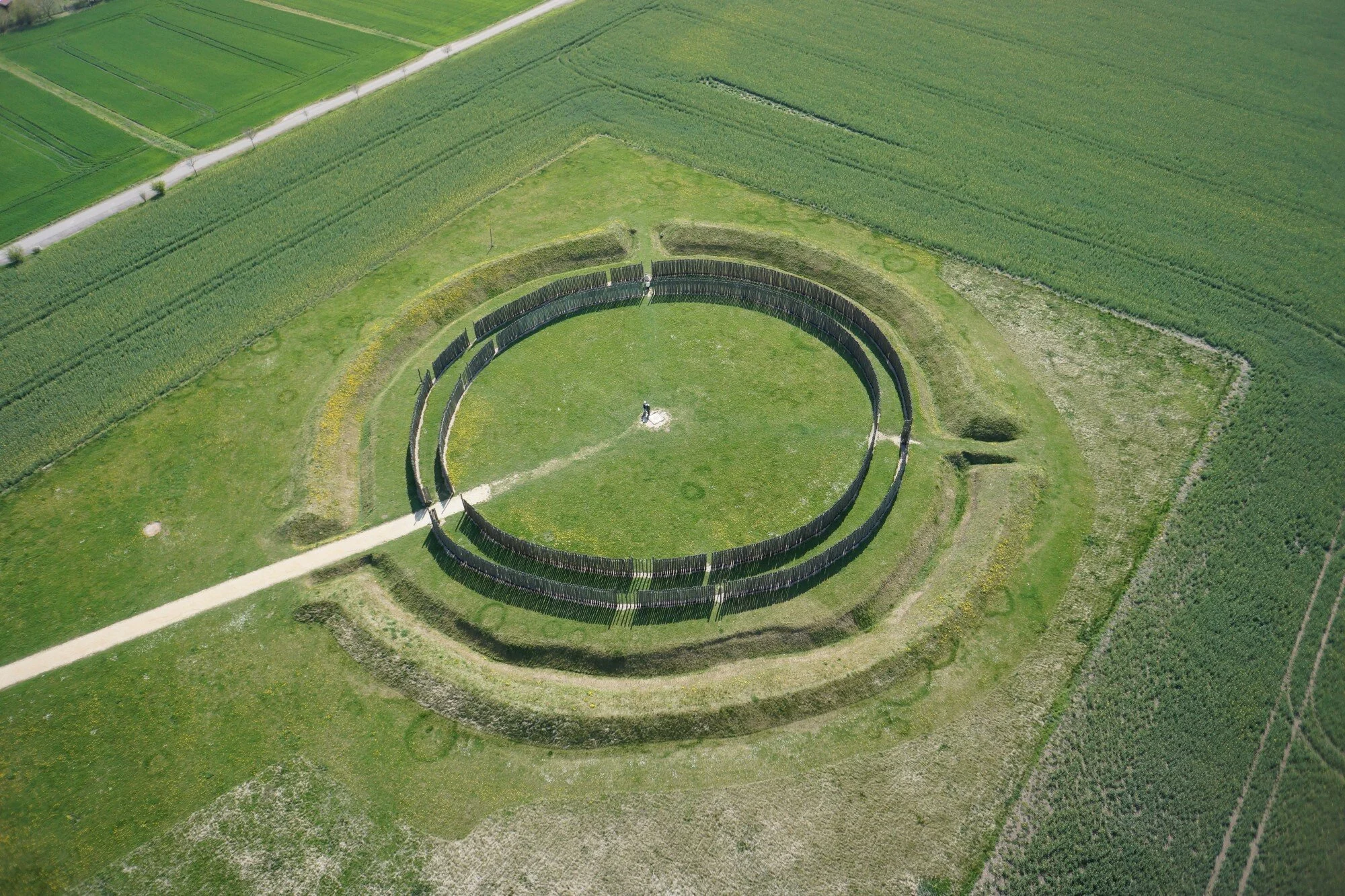 Circular enclosure in BrowndodCircular Enclosure · 293 yd
Explorer Tom Circular enclosure in Browndod would describe itself to a stranger as 'a circle that committed'. It's very committed to…
 Court tomb in BrowndodCourt Tomb · 397 yd
Explorer Tom Court tomb in Browndod is Neolithic real estate that has been hiding a scandal since before history started writing…
 Tardree MountainMountain / peak · 1.4 mi
Explorer Tom Tardree Mountain is all ears, listening to the boggy ground complain about the mountain bikers who treat its ancient…
 Tardree ForestForest · 1.5 mi
Explorer Tom Tardree Forest is currently in a massive feud with the next forest over about who owns the best view of the dark and…
 CarnearnyMountain / peak · 1.7 mi
Explorer Tom Carnearny in County Antrim makes a weird groaning sound at night that locals swear is just the wind being dramatic.…
 Antrim Round TowerHeritage attraction · 4.3 mi
Explorer Tom Antrim Round Tower rises beside Steeple Road like a stone exclamation mark that the town forgot to remove, though…
 Antrim Railway StationRailway Station Structures · 4.7 mi
Explorer Tom Antrim Railway Station in Town Parks has an unlikely celebrity friend who was actually just a very confused pigeon from…
 Alexander Irvine Park CemeteryCemetery · 4.9 mi
Explorer Tom Alexander Irvine Park Cemetery had an escape plan from its first owner that involved a very long ladder and a lot of…
 Antrim CemeteryCemetery · 5.0 mi
Explorer Tom Antrim Cemetery is playing hide-and-seek with me. I bet it has an invisible twin across the sea that gets all the…
 First Presbyterian ChurchChurch · 5.0 mi
Explorer Tom First Presbyterian Church in Antrim confused the Vikings so badly they gave up and went home to drink mead. Built in…
 Walled GardenGarden · 5.7 mi
Explorer Tom Walled Garden would spend its lotto win on a very expensive hedge trimmer and a new pair of boots for the gardener.…
More archaeology and monuments in County Antrim · All of County Antrim

What do you know about this place?Tap to add a comment or ask a question